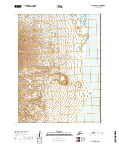
2020 Map of Port Moller B-6 NE
USGS Topo · Published 2020About this map
The Aleutian Range dominates the western portion of this 2020 topographic survey, where steep terrain slopes sharply toward the eastern coastline of the Alaska Peninsula. Along the shores of Pavlof Bay, the topography transitions from high ridges to coastal lowlands. To the north, the intricate tidal shoreline of Chinaman Lagoon indicates the dynamic nature of this maritime environment. Further south along the coast, Black Point serves as a prominent maritime landmark where the mountains meet the sea. This map provides a detailed look at the land and water interface in the Aleutians East Borough, illustrating the topographic complexity of this portion of the Alaska Peninsula before the interior remains largely undeveloped.
Find a feature on this map
8 named features on this map. Tap any name to fly to it.
Don’t see what you’re looking for? This feature index may not catch every label — zoom into the map to look around manually.
Map Details
Editions of this 2020 Port Moller B-6 NE Map
This is the sole edition of this map. No revisions or reprints were ever made.
Other maps of this area

1953 · Port Moller
USGS Topo · 1:250,000

1963 · Port Moller C-5
USGS Topo · 1:63,360

1963 · Port Moller C-6
USGS Topo · 1:63,360

1983 · Port Moller B-6
USGS Topo · 1:63,360
1983 · Port Moller B-5
USGS Topo · 1:63,360

1988 · Port Moller
USGS Topo · 1:250,000
2020 · Port Moller C-6 SE
USGS Topo · 1:25,000
2020 · Port Moller C-5 SW
USGS Topo · 1:25,000
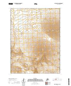
2020 · Port Moller B-6 NW
USGS Topo · 1:25,000
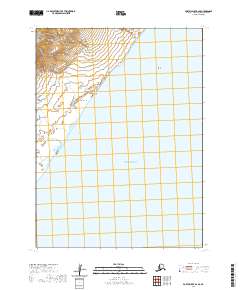
2020 · Port Moller B-6 SE
USGS Topo · 1:25,000