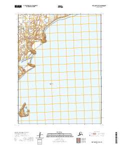
2020 Map of Port Moller C-5 SW
USGS Topo · Published 2020About this map
Dry Lagoon sits at the northwestern edge of this coastal survey, where the terrestrial terrain of the Aleutian landscape meets the waters of the Bering Sea. The geography here is defined by maritime isolation and tectonic boundary markers like Round Island and the more complex coast of Ivan Island to the southwest. Most of the map area is dominated by the open waters of Pavlof Bay, reflecting the nautical character of the region. This 2020 edition provides precise modern topography for this portion of the Aleutians East Borough, documenting the shoreline and coastal landforms as they exist today. The land is largely defined by its township and range divisions, such as t53s r81w and t54s r81w, which organize this sparsely labeled coastal environment.
Find a feature on this map
8 named features on this map. Tap any name to fly to it.
Don’t see what you’re looking for? This feature index may not catch every label — zoom into the map to look around manually.
Map Details
Editions of this 2020 Port Moller C-5 SW Map
This is the sole edition of this map. No revisions or reprints were ever made.
Other maps of this area

1953 · Port Moller
USGS Topo · 1:250,000

1963 · Port Moller C-5
USGS Topo · 1:63,360

1963 · Port Moller C-6
USGS Topo · 1:63,360

1983 · Port Moller B-6
USGS Topo · 1:63,360
1983 · Port Moller B-5
USGS Topo · 1:63,360

1988 · Port Moller
USGS Topo · 1:250,000
2020 · Port Moller C-5 SE
USGS Topo · 1:25,000
2020 · Port Moller B-5 NE
USGS Topo · 1:25,000
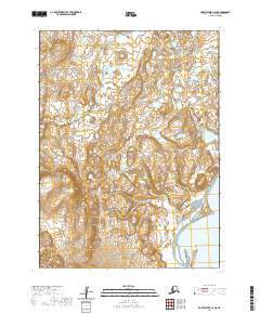
2020 · Port Moller C-6 SE
USGS Topo · 1:25,000
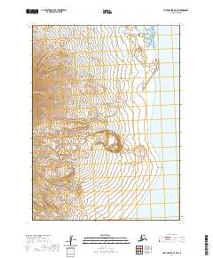
2020 · Port Moller B-6 NE
USGS Topo · 1:25,000