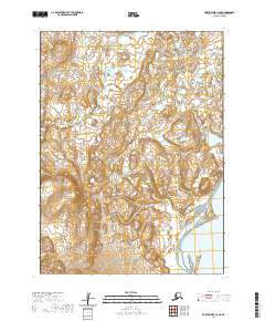
2020 Map of Port Moller C-6 SE
USGS Topo · Published 2020About this map
Pavlof Bay defines the eastern edge of this coastal Alaskan landscape, where the tides meets a complex network of wetlands and tidal flats. The terrain is characterized by the meandering path of the Caribou River, which snakes through the northern sections of the map before descending toward the coast. This 2020 survey captures a region primarily defined by its hydrography and shifting shoreline, with no established roads or settlements recorded. The intricate contour lines illustrate a gradual rise from the bay into the interior, providing a clear view of the natural drainage patterns and the uninhabited expanse within the Aleutians East Borough.
Find a feature on this map
6 named features on this map. Tap any name to fly to it.
Don’t see what you’re looking for? This feature index may not catch every label — zoom into the map to look around manually.
Map Details
Editions of this 2020 Port Moller C-6 SE Map
This is the sole edition of this map. No revisions or reprints were ever made.
Other maps of this area

1953 · Port Moller
USGS Topo · 1:250,000

1963 · Port Moller C-5
USGS Topo · 1:63,360

1963 · Port Moller C-6
USGS Topo · 1:63,360

1983 · Port Moller B-6
USGS Topo · 1:63,360
1983 · Port Moller B-5
USGS Topo · 1:63,360

1988 · Port Moller
USGS Topo · 1:250,000
2020 · Port Moller C-6 NW
USGS Topo · 1:25,000
2020 · Port Moller B-6 NE
USGS Topo · 1:25,000
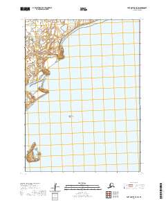
2020 · Port Moller C-5 SW
USGS Topo · 1:25,000
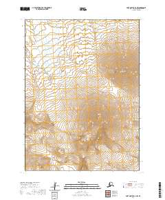
2020 · Port Moller B-6 NW
USGS Topo · 1:25,000