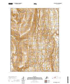
2020 Map of Port Moller C-6 NW
USGS Topo · Published 2020About this map
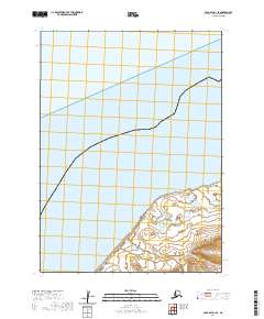
The Alaska Peninsula landscape dominates this 2020 topographic study, revealing a complex network of wetlands and drainage patterns within the Aleutians East region. The area is defined by the wandering course of the David River, which meanders through the southern reaches of the quadrangle, and the smaller Steelhead Cr flowing further north. This region exhibits a classic glacial-outwash character, where numerous small ponds and lakes are interspersed among subtle topographic rises and marshy lowlands. The survey provides a detailed look at the Public Land Survey System grid, marking the intersections of Townships 51, 52, and 53 South. This specific area serves as a vital record of the hydrological state of the peninsula in the early 21st century, showing how water moves through the unpopulated tundra towards the coast.
Find a feature on this map
9 named features on this map. Tap any name to fly to it.
Don’t see what you’re looking for? This feature index may not catch every label — zoom into the map to look around manually.
Map Details
Editions of this 2020 Port Moller C-6 NW Map
This is the sole edition of this map. No revisions or reprints were ever made.
Other maps of this area

1943 · Fort Randall
USGS Topo · 1:250,000

1949 · Fort Randall
USGS Topo · 1:250,000

1950 · Fort Randall
USGS Topo · 1:250,000

1953 · Port Moller
USGS Topo · 1:250,000

1963 · Port Moller C-6
USGS Topo · 1:63,360
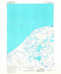
1963 · Port Moller D-6
USGS Topo · 1:63,360
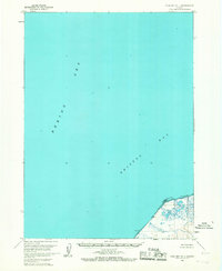
1963 · Cold Bay D-1
USGS Topo · 1:63,360
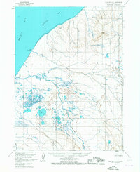
1963 · Cold Bay C-1
USGS Topo · 1:63,360

1988 · Port Moller
USGS Topo · 1:250,000
2020 · Cold Bay D-1 SE
USGS Topo · 1:25,000