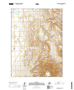
2020 Map of Port Moller C-4 NW
USGS Topo · Published 2020About this map
Mt Dana dominates the southern landscape of this coastal quadrangle on the Alaska Peninsula, rising sharply above the surrounding terrain. The drainage patterns of the region are defined by Peterson Cr, which winds through the central and northern sections of the map. In the south, the deep basin of Knutson Lake sits at the foot of the mountain slopes, a prominent water body in this otherwise drainage-heavy environment. This 2020 survey illustrates the stark, unpopulated character of the Aleutians East Borough, where the land is divided primarily by the Public Land Survey System townships, including t52s r78w and t51s r77w. The map provides a clear record of the physical geography and hydrography of this isolated coastal reach, showing how glacial or volcanic activity has shaped the local relief.
Find a feature on this map
9 named features on this map. Tap any name to fly to it.
Don’t see what you’re looking for? This feature index may not catch every label — zoom into the map to look around manually.
Map Details
Editions of this 2020 Port Moller C-4 NW Map
This is the sole edition of this map. No revisions or reprints were ever made.
Other maps of this area

1953 · Port Moller
USGS Topo · 1:250,000

1963 · Port Moller D-5
USGS Topo · 1:63,360

1963 · Port Moller C-5
USGS Topo · 1:63,360
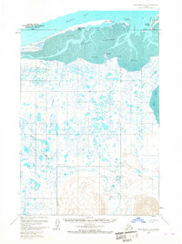
1963 · Port Moller D-4
USGS Topo · 1:63,360

1983 · Port Moller C-4
USGS Topo · 1:63,360

1988 · Port Moller
USGS Topo · 1:250,000
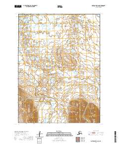
2020 · Port Moller D-4 SE
USGS Topo · 1:25,000
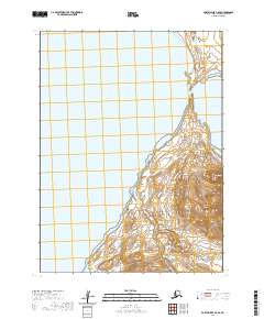
2020 · Port Moller C-5 SE
USGS Topo · 1:25,000
2020 · Port Moller C-4 SE
USGS Topo · 1:25,000
2020 · Port Moller C-4 NE
USGS Topo · 1:25,000