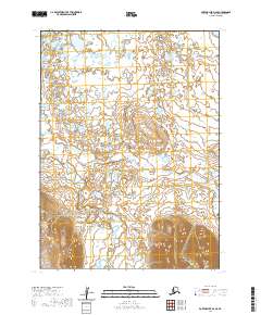
2020 Map of Port Moller D-4 SE
USGS Topo · Published 2020About this map
The Alaska Peninsula serves as the backdrop for this topographic study, where the low-lying coastal plains meet the rising foothills of the Aleutian Range. This landscape is defined by its complex drainage patterns, where the winding channels of the Lefthead River and the Sapsuk River course through a terrain dense with small ponds and marshes. The map details the transition from these saturated lowlands to the more structured elevations in the south, providing a clear view of the hydrological network that shapes this part of the Aleutians East Borough. This data represents a specific modern survey of the region's wilderness, documenting the precise flow of glacial and coastal waters before they reach the sea.
Find a feature on this map
8 named features on this map. Tap any name to fly to it.
Don’t see what you’re looking for? This feature index may not catch every label — zoom into the map to look around manually.
Map Details
Editions of this 2020 Port Moller D-4 SE Map
This is the sole edition of this map. No revisions or reprints were ever made.
Other maps of this area

1953 · Port Moller
USGS Topo · 1:250,000

1963 · Port Moller D-3
USGS Topo · 1:63,360
1963 · Port Moller D-4
USGS Topo · 1:63,360

1983 · Port Moller C-4
USGS Topo · 1:63,360

1983 · Port Moller C-3
USGS Topo · 1:63,360

1988 · Port Moller
USGS Topo · 1:250,000
2020 · Port Moller D-3 NW
USGS Topo · 1:25,000
2020 · Port Moller D-3 SW
USGS Topo · 1:25,000
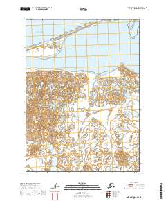
2020 · Port Moller D-4 NW
USGS Topo · 1:25,000
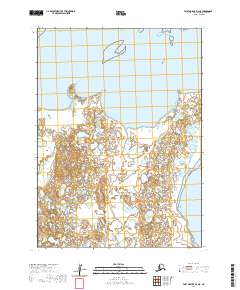
2020 · Port Moller D-4 NE
USGS Topo · 1:25,000