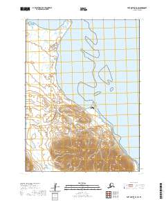
2020 Map of Port Moller D-3 SW
USGS Topo · Published 2020About this map
The Alaska Peninsula coastline meets the waters of Herendeen Bay in this 2020 topographic survey, where maritime geography and aviation infrastructure intersect. The shoreline is defined by notable coastal landforms, including the narrow finger of Village Spit and the nearby Coal Point. These features are vital landmarks for navigation along this remote stretch of the coast, particularly for those utilizing the Herendeen Bay Airport situated near the water's edge.
Find a feature on this map
11 named features on this map. Tap any name to fly to it.
Don’t see what you’re looking for? This feature index may not catch every label — zoom into the map to look around manually.
Map Details
Editions of this 2020 Port Moller D-3 SW Map
This is the sole edition of this map. No revisions or reprints were ever made.
Other maps of this area

1953 · Port Moller
USGS Topo · 1:250,000

1963 · Port Moller D-3
USGS Topo · 1:63,360
1963 · Port Moller D-4
USGS Topo · 1:63,360

1983 · Port Moller C-4
USGS Topo · 1:63,360

1983 · Port Moller C-3
USGS Topo · 1:63,360

1988 · Port Moller
USGS Topo · 1:250,000
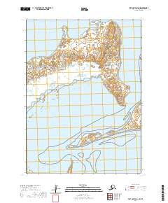
2020 · Port Moller D-3 NW
USGS Topo · 1:25,000
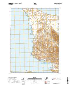
2020 · Port Moller D-3 SE
USGS Topo · 1:25,000
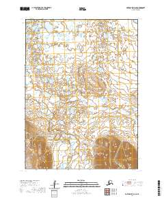
2020 · Port Moller D-4 SE
USGS Topo · 1:25,000
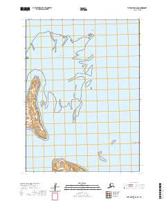
2020 · Port Moller D-3 NE
USGS Topo · 1:25,000