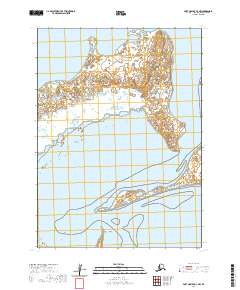
2020 Map of Port Moller D-3 NW
USGS Topo · Published 2020About this map
Nelson Lagoon and the intricate coastal geometry of the Alaska Peninsula define this portion of the Aleutians East Borough. The landscape is characterized by a series of prominent coastal projections including Third Cape, Second Cape, and Point Edward to the north, which give way to the more sheltered waters of the lagoon. Further south, the shoreline is punctuated by Cape Rozhnof, Ross Point, and Black Point, illustrating the dynamic maritime geography of the region. This survey details the complex network of sandbars, tidal flats, and wetlands that interface with the Bering Sea. The lack of inland settlements or infrastructure emphasizes the maritime orientation of the area, where the terrain is shaped entirely by natural coastal processes and hydrographic features.
Find a feature on this map
13 named features on this map. Tap any name to fly to it.
Don’t see what you’re looking for? This feature index may not catch every label — zoom into the map to look around manually.
Map Details
Editions of this 2020 Port Moller D-3 NW Map
This is the sole edition of this map. No revisions or reprints were ever made.
Other maps of this area

1953 · Port Moller
USGS Topo · 1:250,000

1963 · Port Moller D-3
USGS Topo · 1:63,360
1963 · Port Moller D-4
USGS Topo · 1:63,360

1988 · Port Moller
USGS Topo · 1:250,000
2020 · Port Moller D-3 SE
USGS Topo · 1:25,000
2020 · Port Moller D-3 SW
USGS Topo · 1:25,000
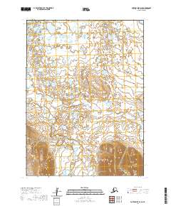
2020 · Port Moller D-4 SE
USGS Topo · 1:25,000
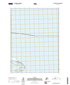
2020 · Port Moller D-3 OE N SE
USGS Topo · 1:25,000
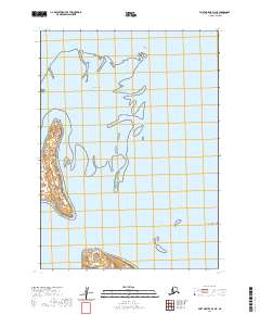
2020 · Port Moller D-3 NE
USGS Topo · 1:25,000
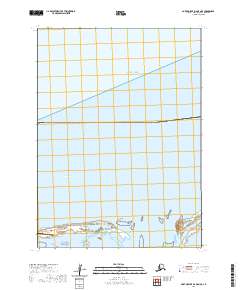
2020 · Port Moller D-4 OE N SE
USGS Topo · 1:25,000