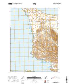
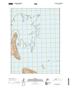
2020 Map of Port Moller D-3 SE
USGS Topo · Published 2020About this map
Herendeen Bay and the surrounding coastline of the Alaska Peninsula define this 2020 survey, revealing a landscape shaped by both tidal forces and geological resources. The coastal margin is punctuated by distinctive navigational hazards and landmarks, including Crow Reef, Midway Reef, and the aptly named Halftide Rock. Inland, the terrain rises sharply from the shore, cut by the drainage of the Johnson Fork and Lumber Cr.
Find a feature on this map
24 named features on this map. Tap any name to fly to it.
Don’t see what you’re looking for? This feature index may not catch every label — zoom into the map to look around manually.
Map Details
Editions of this 2020 Port Moller D-3 SE Map
This is the sole edition of this map. No revisions or reprints were ever made.
Other maps of this area

1953 · Port Moller
USGS Topo · 1:250,000

1963 · Port Moller D-3
USGS Topo · 1:63,360

1963 · Port Moller C-2
USGS Topo · 1:63,360

1963 · Port Moller D-2
USGS Topo · 1:63,360

1983 · Port Moller C-3
USGS Topo · 1:63,360

1988 · Port Moller
USGS Topo · 1:250,000
2020 · Port Moller D-3 NW
USGS Topo · 1:25,000
2020 · Port Moller D-3 SW
USGS Topo · 1:25,000
2020 · Port Moller D-2 SW
USGS Topo · 1:25,000
2020 · Port Moller D-3 NE
USGS Topo · 1:25,000