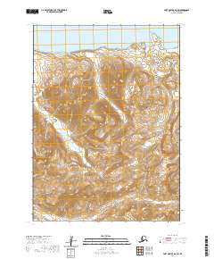
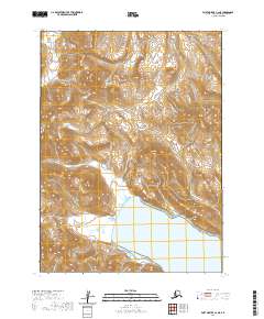
2020 Map of Port Moller D-2 SW
USGS Topo · Published 2020About this map
Staniukovich Mtn dominates this portion of the Alaska Peninsula, where the high peaks of the Aleutian Range meet the coastal lowlands. The geography is defined by deep drainage systems, including the Coal Valley and Lawrence Valley, which channel water toward the northern coast. Watercourses like Johnson Fork and Coal Cr carve through the terrain, illustrating the hydrologic patterns of this remote maritime environment. This 2020 survey provides a high-resolution view of the landforms without the presence of permanent settlements or modern road infrastructure, reflecting the wilderness character of the region within the Aleutians East Borough.
Find a feature on this map
11 named features on this map. Tap any name to fly to it.
Don’t see what you’re looking for? This feature index may not catch every label — zoom into the map to look around manually.
Map Details
Editions of this 2020 Port Moller D-2 SW Map
This is the sole edition of this map. No revisions or reprints were ever made.
Other maps of this area

1953 · Port Moller
USGS Topo · 1:250,000

1963 · Port Moller D-3
USGS Topo · 1:63,360

1963 · Port Moller C-2
USGS Topo · 1:63,360

1963 · Port Moller D-2
USGS Topo · 1:63,360

1983 · Port Moller C-3
USGS Topo · 1:63,360

1988 · Port Moller
USGS Topo · 1:250,000
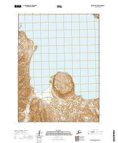
2020 · Port Moller D-2 SE
USGS Topo · 1:25,000
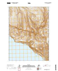
2020 · Port Moller D-2 NE
USGS Topo · 1:25,000
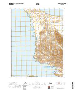
2020 · Port Moller D-3 SE
USGS Topo · 1:25,000
2020 · Port Moller C-2 NE
USGS Topo · 1:25,000