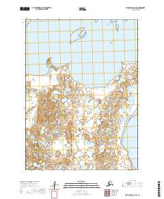
2020 Map of Port Moller D-4 NE
USGS Topo · Published 2020About this map
Bristol Bay defines the northern coastline of this remote Alaska Peninsula landscape, where the sea meets a complex network of coastal wetlands and low-lying terrain. The coastal geography is marked by distinctive points such as Franz Point and the prominent Miner Hill, which provide critical navigational landmarks in an area otherwise dominated by small lakes and tidal flats. Further east, the land extends toward Cape Rozhnof, while the Kudobin Islands sit just offshore to the north.
Find a feature on this map
11 named features on this map. Tap any name to fly to it.
Don’t see what you’re looking for? This feature index may not catch every label — zoom into the map to look around manually.
Map Details
Editions of this 2020 Port Moller D-4 NE Map
This is the sole edition of this map. No revisions or reprints were ever made.
Other maps of this area

1953 · Port Moller
USGS Topo · 1:250,000

1963 · Port Moller D-3
USGS Topo · 1:63,360
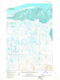
1963 · Port Moller D-4
USGS Topo · 1:63,360

1988 · Port Moller
USGS Topo · 1:250,000
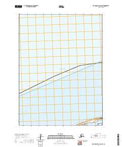
2020 · Port Moller D-4 OE N SW
USGS Topo · 1:25,000
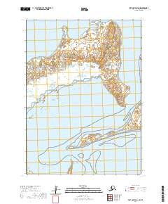
2020 · Port Moller D-3 NW
USGS Topo · 1:25,000
2020 · Port Moller D-3 SW
USGS Topo · 1:25,000
2020 · Port Moller D-4 SE
USGS Topo · 1:25,000
2020 · Port Moller D-4 OE N SE
USGS Topo · 1:25,000
2020 · Port Moller D-4 NW
USGS Topo · 1:25,000