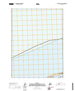
2020 Map of Port Moller D-4 OE N SW
USGS Topo · Published 2020About this map
Bristol Bay dominates the northern expanse of this coastal landscape along the northern side of the Alaska Peninsula. The remote terrain is defined by the transition from the bay's waters to the low-lying shoreline where the Nelson Lagoon Airport provides a critical link for the Aleutians East Borough. The infrastructure here is sparse, focused primarily on the aviation facilities and the connecting Airport Way. This 2020 survey illustrates the isolation of the region, where the Public Land Survey System grids of t48s r77w and t48s r76w partition a landscape of wetlands and tidal influence. The proximity of the airport to the open water of the lagoon reflects the logistical challenges and necessity of air transport in this corner of the Aleutians.
Find a feature on this map
5 named features on this map. Tap any name to fly to it.
Don’t see what you’re looking for? This feature index may not catch every label — zoom into the map to look around manually.
Map Details
Editions of this 2020 Port Moller D-4 OE N SW Map
This is the sole edition of this map. No revisions or reprints were ever made.
Other maps of this area

1953 · Port Moller
USGS Topo · 1:250,000

1963 · Port Moller D-5
USGS Topo · 1:63,360
1963 · Port Moller D-4
USGS Topo · 1:63,360

1988 · Port Moller
USGS Topo · 1:250,000
2020 · Port Moller D-4 OE N SE
USGS Topo · 1:25,000
2020 · Port Moller D-4 NW
USGS Topo · 1:25,000
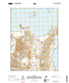
2020 · Port Moller D-4 NE
USGS Topo · 1:25,000
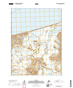
2020 · Port Moller D-5 NE
USGS Topo · 1:25,000