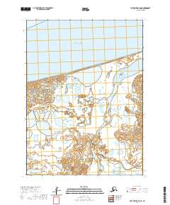
2020 Map of Port Moller D-5 NE
USGS Topo · Published 2020About this map
Nelson Lagoon serves as the primary hub of human activity in this coastal region of the Alaska Peninsula, where the landscape is defined by the shifting interface of water and tundra. Situated along the southern shores of Bristol Bay, the area is etched by the meandering paths of the Caribou River and Sapsuk River as they flow toward the sea. The geography is characterized by a complex network of wetlands and small lakes, including the prominent Coast Lake situated behind the barrier shoreline. To the south, the terrain rises slightly toward Happys Hill, providing a rare point of elevation in a landscape otherwise dominated by low-lying tidal flats and lagoons. This modern survey captures the intricate drainage patterns and coastal boundaries of a region where the traditional economy remains deeply tied to the rhythms of the Bering Sea and the surrounding waterways.
Find a feature on this map
12 named features on this map. Tap any name to fly to it.
Don’t see what you’re looking for? This feature index may not catch every label — zoom into the map to look around manually.
Map Details
Editions of this 2020 Port Moller D-5 NE Map
This is the sole edition of this map. No revisions or reprints were ever made.
Other maps of this area

1953 · Port Moller
USGS Topo · 1:250,000

1963 · Port Moller D-5
USGS Topo · 1:63,360
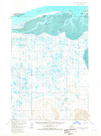
1963 · Port Moller D-4
USGS Topo · 1:63,360

1988 · Port Moller
USGS Topo · 1:250,000
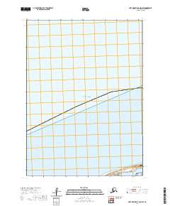
2020 · Port Moller D-4 OE N SW
USGS Topo · 1:25,000
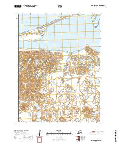
2020 · Port Moller D-4 NW
USGS Topo · 1:25,000
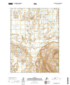
2020 · Port Moller D-4 SW
USGS Topo · 1:25,000
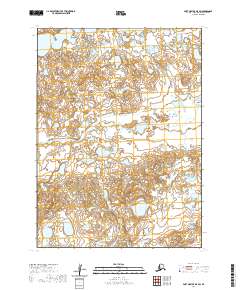
2020 · Port Moller D-5 SW
USGS Topo · 1:25,000
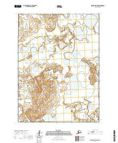
2020 · Port Moller D-5 SE
USGS Topo · 1:25,000
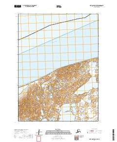
2020 · Port Moller D-5 NW
USGS Topo · 1:25,000