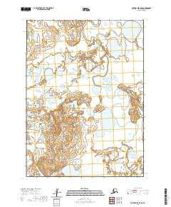
2020 Map of Port Moller D-5 SE
USGS Topo · Published 2020About this map
Caribou River meanders across this low-lying segment of the Alaska Peninsula, defining a landscape dominated by complex hydrological patterns. The drainage of the David River further shapes the terrain, which is characterized by an intricate network of wetlands, small ponds, and glacial remnants typical of this subarctic environment. Unlike more developed regions, the area is defined by its natural watercourses rather than human infrastructure, reflecting the remote and wilderness character of the region in the early twenty-first century. This survey by the U.S. Geological Survey captures the precise state of these river systems and the shifting land-water boundaries before further environmental changes or shifts in the peninsula's geography.
Find a feature on this map
7 named features on this map. Tap any name to fly to it.
Don’t see what you’re looking for? This feature index may not catch every label — zoom into the map to look around manually.
Map Details
Editions of this 2020 Port Moller D-5 SE Map
This is the sole edition of this map. No revisions or reprints were ever made.
Other maps of this area

1953 · Port Moller
USGS Topo · 1:250,000

1963 · Port Moller D-5
USGS Topo · 1:63,360

1963 · Port Moller C-5
USGS Topo · 1:63,360
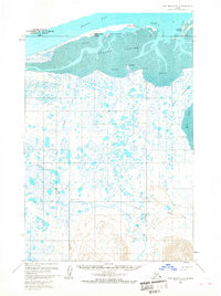
1963 · Port Moller D-4
USGS Topo · 1:63,360

1983 · Port Moller C-4
USGS Topo · 1:63,360

1988 · Port Moller
USGS Topo · 1:250,000
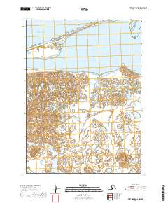
2020 · Port Moller D-4 NW
USGS Topo · 1:25,000
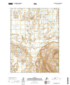
2020 · Port Moller D-4 SW
USGS Topo · 1:25,000
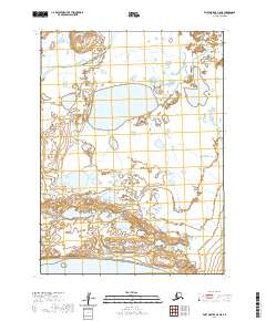
2020 · Port Moller C-5 NE
USGS Topo · 1:25,000
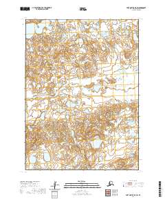
2020 · Port Moller D-5 SW
USGS Topo · 1:25,000