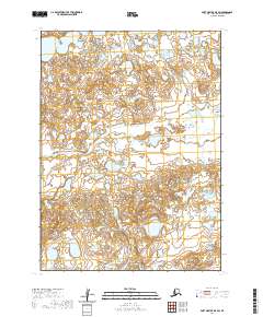
2020 Map of Port Moller D-5 SW
USGS Topo · Published 2020About this map
The Alaska Peninsula coastline and its intricate drainage systems are the focus of this 2020 topographic study. The landscape is defined by the wandering path of the David River, which meanders across the low-lying terrain in the northwestern and eastern sections of the quadrangle. This environment is characterized by a high density of small ponds and wetlands, typical of the hydrologic patterns found in the Aleutians East Borough. The map provides a detailed view of the Public Land Survey System divisions, including t50s r80w and t51s r79w, which delineate the remote wilderness. Without roads or permanent settlements, the area remains an untouched expanse of water and land where the river's shifting course serves as the primary geographic landmark.
Find a feature on this map
6 named features on this map. Tap any name to fly to it.
Don’t see what you’re looking for? This feature index may not catch every label — zoom into the map to look around manually.
Map Details
Editions of this 2020 Port Moller D-5 SW Map
This is the sole edition of this map. No revisions or reprints were ever made.
Other maps of this area

1953 · Port Moller
USGS Topo · 1:250,000

1963 · Port Moller D-5
USGS Topo · 1:63,360

1963 · Port Moller C-5
USGS Topo · 1:63,360

1963 · Port Moller C-6
USGS Topo · 1:63,360
1963 · Port Moller D-6
USGS Topo · 1:63,360

1988 · Port Moller
USGS Topo · 1:250,000
2020 · Port Moller D-6 SE
USGS Topo · 1:25,000
2020 · Port Moller C-5 NE
USGS Topo · 1:25,000
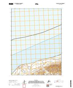
2020 · Port Moller D-6 NE
USGS Topo · 1:25,000
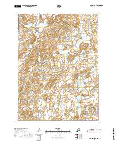
2020 · Port Moller C-6 NE
USGS Topo · 1:25,000