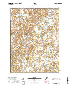
2020 Map of Port Moller C-6 NE
USGS Topo · Published 2020About this map
Alaska Peninsula terrain dominates this 2020 topographic survey, revealing a landscape defined by complex hydrological networks. The David River meanders through the northwest, while the Caribou River enters the southeast, illustrating the intricate drainage patterns of this remote coastal region. Unlike more settled maps, this sheet emphasizes the raw geography of the peninsula, marked by hundreds of small glacial lakes and ponds that fill the low-lying basins between subtle contour shifts. The Public Land Survey System grid, including townships like t51s r81w and t52s r80w, provides the only human-imposed structure over this wilderness area. Researchers can observe how the river systems and wetlands interact within the various sections, offering a baseline for environmental study or geographic tracing of this specific stretch of the Aleutians East Borough.
Find a feature on this map
8 named features on this map. Tap any name to fly to it.
Don’t see what you’re looking for? This feature index may not catch every label — zoom into the map to look around manually.
Map Details
Editions of this 2020 Port Moller C-6 NE Map
This is the sole edition of this map. No revisions or reprints were ever made.
Other maps of this area

1953 · Port Moller
USGS Topo · 1:250,000

1963 · Port Moller D-5
USGS Topo · 1:63,360

1963 · Port Moller C-5
USGS Topo · 1:63,360

1963 · Port Moller C-6
USGS Topo · 1:63,360
1963 · Port Moller D-6
USGS Topo · 1:63,360

1988 · Port Moller
USGS Topo · 1:250,000
2020 · Port Moller C-6 NW
USGS Topo · 1:25,000
2020 · Port Moller D-6 SW
USGS Topo · 1:25,000
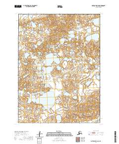
2020 · Port Moller D-6 SE
USGS Topo · 1:25,000
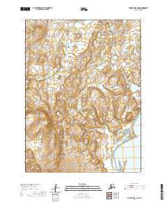
2020 · Port Moller C-6 SE
USGS Topo · 1:25,000