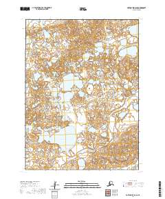
2020 Map of Port Moller D-6 SE
USGS Topo · Published 2020About this map
Alaska Peninsula terrain dominates this landscape, characterized by a complex network of wetlands and small kettle lakes. This 2020 survey reveals a remote wilderness where the David River meanders across the coastal plain, eventually passing through several townships before reaching the northern coast. The most prominent inland water body, Big Fish Lake, serves as a major geographical anchor in the southwestern portion of the quadrangle.
Find a feature on this map
7 named features on this map. Tap any name to fly to it.
Don’t see what you’re looking for? This feature index may not catch every label — zoom into the map to look around manually.
Map Details
Editions of this 2020 Port Moller D-6 SE Map
This is the sole edition of this map. No revisions or reprints were ever made.
Other maps of this area

1953 · Port Moller
USGS Topo · 1:250,000

1963 · Port Moller D-5
USGS Topo · 1:63,360

1963 · Port Moller C-5
USGS Topo · 1:63,360

1963 · Port Moller C-6
USGS Topo · 1:63,360
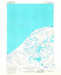
1963 · Port Moller D-6
USGS Topo · 1:63,360

1988 · Port Moller
USGS Topo · 1:250,000
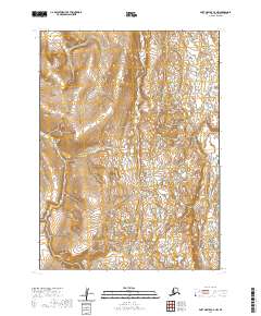
2020 · Port Moller C-6 NW
USGS Topo · 1:25,000
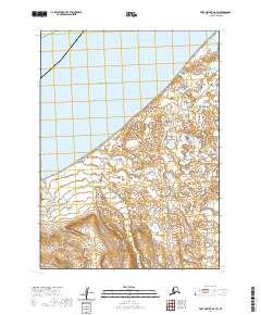
2020 · Port Moller D-6 SW
USGS Topo · 1:25,000
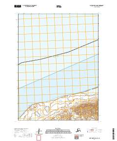
2020 · Port Moller D-6 NE
USGS Topo · 1:25,000
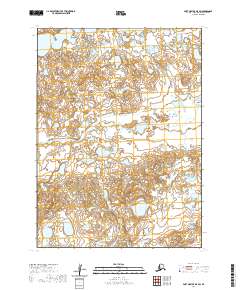
2020 · Port Moller D-5 SW
USGS Topo · 1:25,000