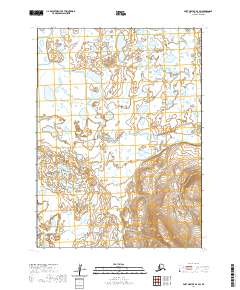
2020 Map of Port Moller D-4 SW
USGS Topo · Published 2020About this map
Sapsuk River meanders across this Aleutian landscape, defining a complex hydrology of low-lying wetlands and scattered ponds typical of the Bristol Bay drainage. The terrain transitions from these water-heavy flats in the north to increasingly prominent topographic relief in the south, where Peterson Cr flows through rising elevations. This 2020 digital survey reflects a wilderness area defined by its natural watercourses and the Public Land Survey System grids of t50s r78w and t51s r77w, showing a region largely untouched by permanent road infrastructure or settlements.
Find a feature on this map
6 named features on this map. Tap any name to fly to it.
Don’t see what you’re looking for? This feature index may not catch every label — zoom into the map to look around manually.
Map Details
Editions of this 2020 Port Moller D-4 SW Map
This is the sole edition of this map. No revisions or reprints were ever made.
Other maps of this area

1953 · Port Moller
USGS Topo · 1:250,000

1963 · Port Moller D-5
USGS Topo · 1:63,360

1963 · Port Moller C-5
USGS Topo · 1:63,360
1963 · Port Moller D-4
USGS Topo · 1:63,360

1983 · Port Moller C-4
USGS Topo · 1:63,360

1988 · Port Moller
USGS Topo · 1:250,000
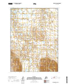
2020 · Port Moller D-4 SE
USGS Topo · 1:25,000
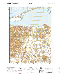
2020 · Port Moller D-4 NW
USGS Topo · 1:25,000
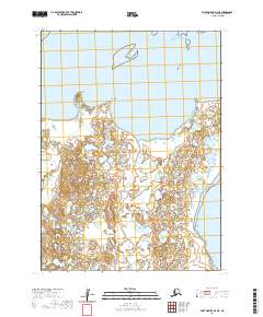
2020 · Port Moller D-4 NE
USGS Topo · 1:25,000
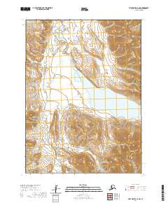
2020 · Port Moller C-4 NE
USGS Topo · 1:25,000