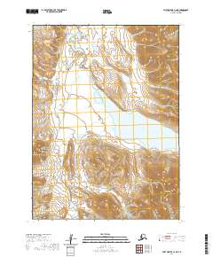
2020 Map of Port Moller C-4 NE
USGS Topo · Published 2020About this map
Sapsuk Lake occupies the central lowland of this coastal region, acting as a significant hydrographic hub for the surrounding wilderness. The terrain is defined by the sharp elevations of the Alaska Peninsula, where the Sapsuk River meanders through a complex network of glacial valleys and wetlands. To the southeast, the prominent rise of Hoodoo Mtn stands as a primary landmark, overlooking the drainage basin. This 2020 survey illustrates the raw geography of the Aleutians East Borough, emphasizing the relationship between high mountain ridges and the expansive water systems that dominate the interior of the peninsula.
Find a feature on this map
9 named features on this map. Tap any name to fly to it.
Don’t see what you’re looking for? This feature index may not catch every label — zoom into the map to look around manually.
Map Details
Editions of this 2020 Port Moller C-4 NE Map
This is the sole edition of this map. No revisions or reprints were ever made.
Other maps of this area

1953 · Port Moller
USGS Topo · 1:250,000

1963 · Port Moller D-3
USGS Topo · 1:63,360
1963 · Port Moller D-4
USGS Topo · 1:63,360

1983 · Port Moller C-4
USGS Topo · 1:63,360

1983 · Port Moller C-3
USGS Topo · 1:63,360

1988 · Port Moller
USGS Topo · 1:250,000
2020 · Port Moller D-3 SW
USGS Topo · 1:25,000
2020 · Port Moller D-4 SE
USGS Topo · 1:25,000
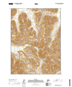
2020 · Port Moller C-3 NW
USGS Topo · 1:25,000
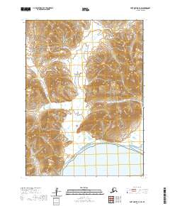
2020 · Port Moller C-3 SW
USGS Topo · 1:25,000