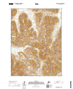
2020 Map of Port Moller C-3 NW
USGS Topo · Published 2020About this map
Beaver River and Lefthead River define the interior drainage of this wild section of the Alaska Peninsula. The landscape transitions from the broad Buck Valley in the north to the sharp rise of Hoodoo Mtn in the southwest corner. This 2020 survey reveals an environment shaped by water and elevation, where the expansive Sapsuk Lake sits at the base of steep topographic contours. The mapping of township and range lines, including t52s r76w and t51s r75w, provides a structural framework for this remote terrain. For researchers and geologists, the map captures the untouched hydrological patterns of the Aleutians East Borough, showing how these river systems navigate the deep valleys and mountain foothills.
Find a feature on this map
11 named features on this map. Tap any name to fly to it.
Don’t see what you’re looking for? This feature index may not catch every label — zoom into the map to look around manually.
Map Details
Editions of this 2020 Port Moller C-3 NW Map
This is the sole edition of this map. No revisions or reprints were ever made.
Other maps of this area

1953 · Port Moller
USGS Topo · 1:250,000

1963 · Port Moller D-3
USGS Topo · 1:63,360
1963 · Port Moller D-4
USGS Topo · 1:63,360

1983 · Port Moller C-4
USGS Topo · 1:63,360

1983 · Port Moller C-3
USGS Topo · 1:63,360

1988 · Port Moller
USGS Topo · 1:250,000
2020 · Port Moller D-3 SE
USGS Topo · 1:25,000
2020 · Port Moller D-3 SW
USGS Topo · 1:25,000
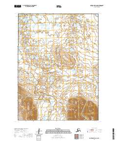
2020 · Port Moller D-4 SE
USGS Topo · 1:25,000
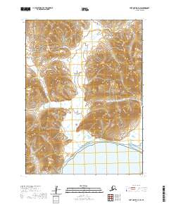
2020 · Port Moller C-3 SW
USGS Topo · 1:25,000