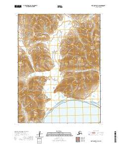
2020 Map of Port Moller C-3 SW
USGS Topo · Published 2020About this map
Aleutian Range peaks dominate the landscape of this remote coastal area, where the volcanic mountains descend toward the waters of the Alaska Peninsula. The topography is defined by the drainage basins of the Canoe Bay River in the northwest and the Beaver River in the central corridor, both of which carve through deep valleys before reaching the coast. In the southern portion of the sheet, these glacial and fluvial systems meet the saltwater at Beaver Bay, forming a shoreline transition between the high mountain interior and the maritime environment. This 2020 survey illustrates the unpopulated, natural character of the region, showcasing the complex contouring of the peninsula's spine and the expansive tidal flats where the rivers enter the bay.
Find a feature on this map
10 named features on this map. Tap any name to fly to it.
Don’t see what you’re looking for? This feature index may not catch every label — zoom into the map to look around manually.
Map Details
Editions of this 2020 Port Moller C-3 SW Map
This is the sole edition of this map. No revisions or reprints were ever made.
Other maps of this area

1953 · Port Moller
USGS Topo · 1:250,000

1983 · Port Moller B-3
USGS Topo · 1:63,360

1983 · Port Moller C-4
USGS Topo · 1:63,360
1983 · Port Moller B-4
USGS Topo · 1:63,360

1983 · Port Moller C-3
USGS Topo · 1:63,360

1988 · Port Moller
USGS Topo · 1:250,000
2020 · Port Moller C-3 NW
USGS Topo · 1:25,000
2020 · Port Moller B-3 NW
USGS Topo · 1:25,000
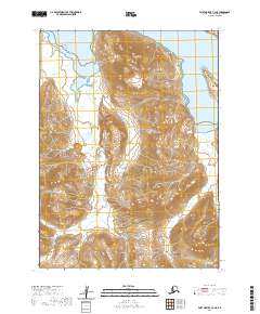
2020 · Port Moller C-3 NE
USGS Topo · 1:25,000
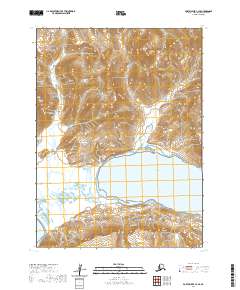
2020 · Port Moller C-3 SE
USGS Topo · 1:25,000