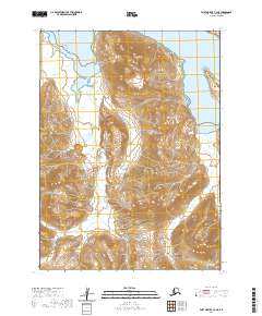
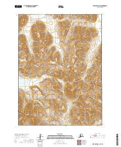
2020 Map of Port Moller C-3 NE
USGS Topo · Published 2020About this map
Alaska Peninsula terrain dominates this coastal survey, where the rugged topography of the Aleutians East Borough meets the saltwater of Herendeen Bay and Bristol Bay. The landscape is defined by dramatic elevation changes, rising from the shoreline at Gravel Point and Gull Point to the prominent heights of Pinnacle Peak and Pyramid Mtn. These summits oversee a network of deep drainage corridors, including Buck Valley, Deer Valley, and Portage Valley, which funnel seasonal meltwater toward the coast.
Find a feature on this map
17 named features on this map. Tap any name to fly to it.
Don’t see what you’re looking for? This feature index may not catch every label — zoom into the map to look around manually.
Map Details
Editions of this 2020 Port Moller C-3 NE Map
This is the sole edition of this map. No revisions or reprints were ever made.
Other maps of this area

1953 · Port Moller
USGS Topo · 1:250,000

1963 · Port Moller D-3
USGS Topo · 1:63,360

1963 · Port Moller C-2
USGS Topo · 1:63,360

1963 · Port Moller D-2
USGS Topo · 1:63,360

1983 · Port Moller C-3
USGS Topo · 1:63,360

1988 · Port Moller
USGS Topo · 1:250,000
2020 · Port Moller D-3 SE
USGS Topo · 1:25,000
2020 · Port Moller D-3 SW
USGS Topo · 1:25,000
2020 · Port Moller D-2 SW
USGS Topo · 1:25,000
2020 · Port Moller C-3 NW
USGS Topo · 1:25,000