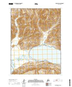
2020 Map of Port Moller C-3 SE
USGS Topo · Published 2020About this map
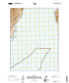
Lefthand Bay dominates the central coastline of this quadrangle, where the tidal waters meet the low-lying reaches of the Kagayan Flats. The terrain is defined by the sharp elevations of the Aleutian Range, culminating in the prominent Cathedral Peak to the north. This coastal landscape is marked by the distinct protrusion of Cape Aliaksin, which separates the bay from the open waters to the south. The area remains largely undeveloped, with drainage provided by features such as Foster Cr as it descends from the high ridges toward the sea. The map provides a detailed view of the interaction between the steep volcanic topography and the complex shoreline of the Alaska Peninsula.
Find a feature on this map
10 named features on this map. Tap any name to fly to it.
Don’t see what you’re looking for? This feature index may not catch every label — zoom into the map to look around manually.
Map Details
Editions of this 2020 Port Moller C-3 SE Map
This is the sole edition of this map. No revisions or reprints were ever made.
Other maps of this area

1953 · Port Moller
USGS Topo · 1:250,000

1963 · Port Moller B-2
USGS Topo · 1:63,360

1963 · Port Moller C-2
USGS Topo · 1:63,360

1983 · Port Moller B-3
USGS Topo · 1:63,360

1983 · Port Moller C-3
USGS Topo · 1:63,360

1988 · Port Moller
USGS Topo · 1:250,000
2020 · Port Moller C-3 NW
USGS Topo · 1:25,000
2020 · Port Moller C-2 SW
USGS Topo · 1:25,000
2020 · Port Moller B-2 NW
USGS Topo · 1:25,000
2020 · Port Moller B-3 NW
USGS Topo · 1:25,000