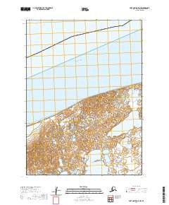
2020 Map of Port Moller D-5 NW
USGS Topo · Published 2020About this map
Bristol Bay dominates the northern horizon of this coastal Alaskan landscape, where the tides meet a complex network of shoreline wetlands. The terrain is defined by the expansive Salt Water Lagoon, a significant coastal feature that illustrates the transition between the open sea and the low-lying interior marshes. This 2020 survey documents the intricate hydrologic patterns of the Aleutians East region, showing a shoreline susceptible to the constant shifting of the Bering Sea's reach. The map also delineates the Public Land Survey System grids, including t49s r80w and t49s r79w, which provide the essential framework for land management in this sparsely populated maritime environment.
Find a feature on this map
6 named features on this map. Tap any name to fly to it.
Don’t see what you’re looking for? This feature index may not catch every label — zoom into the map to look around manually.
Map Details
Editions of this 2020 Port Moller D-5 NW Map
This is the sole edition of this map. No revisions or reprints were ever made.
Other maps of this area

1953 · Port Moller
USGS Topo · 1:250,000

1963 · Port Moller D-5
USGS Topo · 1:63,360
1963 · Port Moller D-6
USGS Topo · 1:63,360

1988 · Port Moller
USGS Topo · 1:250,000
2020 · Port Moller D-6 SE
USGS Topo · 1:25,000
2020 · Port Moller D-6 NE
USGS Topo · 1:25,000
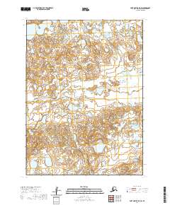
2020 · Port Moller D-5 SW
USGS Topo · 1:25,000
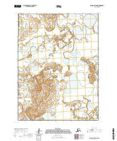
2020 · Port Moller D-5 SE
USGS Topo · 1:25,000
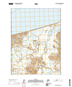
2020 · Port Moller D-5 NE
USGS Topo · 1:25,000