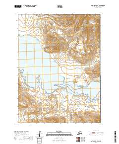
2020 Map of Port Moller C-4 SW
USGS Topo · Published 2020About this map
Canoe Bay dominates this coastal portion of the Alaska Peninsula, where the waters of the bay meet the rising elevations of the Aleutian Range. The landscape is defined by the complex interface of maritime and mountainous terrain, punctuated by the prominent Bluff Point on the southern shore of the bay. Several freshwater drainage systems, including Ness Cr and Humpy Cr, flow through the coastal lowlands toward the sea. This 2020 topographic record provides a detailed view of the natural topography in the Aleutians East Borough, showing the vast, uninhabited stretches of the peninsula as they exist in the modern era, free from modern development or infrastructure.
Find a feature on this map
9 named features on this map. Tap any name to fly to it.
Don’t see what you’re looking for? This feature index may not catch every label — zoom into the map to look around manually.
Map Details
Editions of this 2020 Port Moller C-4 SW Map
This is the sole edition of this map. No revisions or reprints were ever made.
Other maps of this area

1953 · Port Moller
USGS Topo · 1:250,000

1963 · Port Moller C-5
USGS Topo · 1:63,360

1983 · Port Moller C-4
USGS Topo · 1:63,360
1983 · Port Moller B-4
USGS Topo · 1:63,360
1983 · Port Moller B-5
USGS Topo · 1:63,360

1988 · Port Moller
USGS Topo · 1:250,000
2020 · Port Moller C-5 SE
USGS Topo · 1:25,000
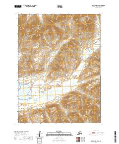
2020 · Port Moller C-4 SE
USGS Topo · 1:25,000
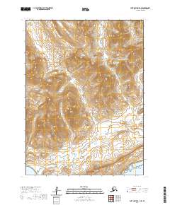
2020 · Port Moller B-4 NW
USGS Topo · 1:25,000
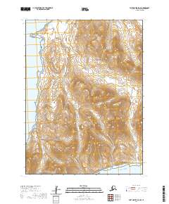
2020 · Port Moller B-5 NE
USGS Topo · 1:25,000