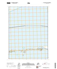
2020 Map of Port Moller D-3 OE N SW
USGS Topo · Published 2020About this map
Bristol Bay dominates the northern expanse of this coastal study, where the waters of the Nelson Lagoon meet the southern reaches of the Bering Sea. The geography is defined by a series of low-lying barrier features, including the Kudobin Islands and Kritskoi Island, which separate the lagoon from the open bay. These islands and their surrounding shoals represent a dynamic coastal environment within the Aleutians East region, illustrating the shifting sands and tidal reaches that characterize the Alaskan peninsula. The map traces the land divisions of t48s r75w and t48s r74w, providing a detailed look at the cadastral layout of these uninhabited island chains and the protected waters behind them. This document serves as a specialized record of the shoreline and maritime boundaries in a remote corner of Alaska where the terrain is almost entirely shaped by the sea.
Find a feature on this map
6 named features on this map. Tap any name to fly to it.
Don’t see what you’re looking for? This feature index may not catch every label — zoom into the map to look around manually.
Map Details
Editions of this 2020 Port Moller D-3 OE N SW Map
This is the sole edition of this map. No revisions or reprints were ever made.
Other maps of this area

1953 · Port Moller
USGS Topo · 1:250,000

1963 · Port Moller D-3
USGS Topo · 1:63,360
1963 · Port Moller D-4
USGS Topo · 1:63,360

1988 · Port Moller
USGS Topo · 1:250,000
2020 · Port Moller D-3 NW
USGS Topo · 1:25,000
2020 · Port Moller D-3 OE N SE
USGS Topo · 1:25,000
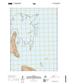
2020 · Port Moller D-3 NE
USGS Topo · 1:25,000
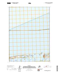
2020 · Port Moller D-4 OE N SE
USGS Topo · 1:25,000
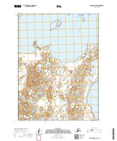
2020 · Port Moller D-4 NE
USGS Topo · 1:25,000