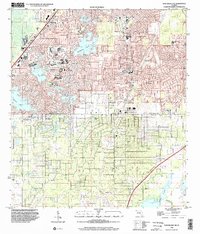
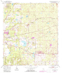
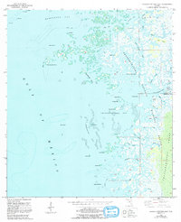
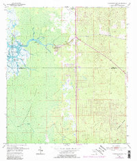
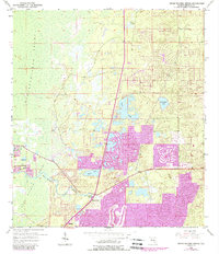
1999 Map of Port Richey NE
USGS Topo · Published 2002This historical map portrays the area of Port Richey NE in 1999, primarily covering Hernando County as well as portions of Pasco County. Featuring a scale of 1:24000, this map provides a highly detailed snapshot of the terrain, roads, buildings, counties, and historical landmarks in the Port Richey NE region at the time. Published in 2002, it is the sole known edition of this map.
Find a feature on this map
24 named features on this map. Tap any name to fly to it.
Don’t see what you’re looking for? This feature index may not catch every label — zoom into the map to look around manually.
Map Details
Editions of this 1999 Port Richey NE Map
This is the sole edition of this map. No revisions or reprints were ever made.
Historical Maps of Pasco County Through Time
8 maps found
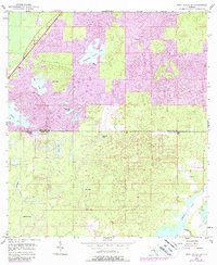
1954 Brooksville SE
Hernando County, FL
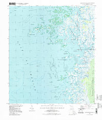
1954 Chassahowitzka Bay
Hernando County, FL
1954 Chassahowitzka
Hernando County, FL
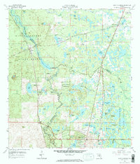
1954 Port Richey Ne
Hernando County, FL
1954 Weeki Wachee Spring
Hernando County, FL
1958 Saint Catherine
Hernando County, FL
1994 Chassahowitzka Bay
Hernando County, FL
1999 Port Richey NE
Hernando County, FL