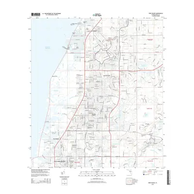
2015 Map of Port Richey
USGS Topo · Published 2015About this map
Hudson and Jasmine Estates serve as the primary hubs of development along the Pasco County coastline on this 2015 survey. The landscape is defined by an intricate network of waterways where the Gulf of Mexico meets the shore, including Hudson Creek, Miller Bayou, and the winding Pithlachascotee River. This era of Florida's growth is visible in the dense residential street patterns that contrast with the preservation of local history at the Hudson Cemetery and Stark Cemetery. Transportation corridors like Us HWY 19 and Ridge Road connect these coastal communities to essential institutions like the Pasco-Hernando Community College. Further inland, specialized infrastructure such as the Hidden Lake Airport and numerous named water bodies like Orchid Lake and Dead Cypress Lake illustrate the hybrid nature of the region's suburban and aquatic geography.
Find a feature on this map
57 named features on this map. Tap any name to fly to it.
Don’t see what you’re looking for? This feature index may not catch every label — zoom into the map to look around manually.
Map Details
Editions of this 2015 Port Richey Map
This is the sole edition of this map. No revisions or reprints were ever made.
Other maps of this area

1943 · Tarpon Springs
USGS Topo · 1:31,680

1943 · Odessa
USGS Topo · 1:24,000

1943 · Elfers
USGS Topo · 1:24,000

1944 · Elfers
USGS Topo · 1:31,680

1944 · Odessa
USGS Topo · 1:31,680

1948 · Elfers
USGS Topo · 1:25,000

1949 · Odessa
USGS Topo · 1:25,000

1954 · Port Richey
USGS Topo · 1:24,000

1954 · Fivay
USGS Topo · 1:24,000

1954 · Aripeka
USGS Topo · 1:24,000