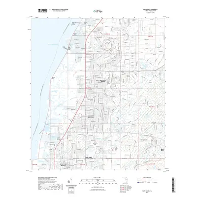
2021 Map of Port Richey
USGS Topo · Published 2021About this map
Hudson and Port Richey anchor this coastal West Florida landscape, where the labyrinthine marshes of the Gulf of Mexico meet rapidly developing residential corridors. The map details the intricate transition from salt water to suburban infrastructure, tracing the Pithlachascotee River as it winds through New Port Richey and the numerous springs and runs like Salt Springs Run that define the shoreline. Local institutions such as Marchman Technical College and the Pasco-Hernando State College West Campus appear alongside vital infrastructure like the West Pasco Judicial Center and Hidden Lake Airport. The map also captures the sprawling nature of the Starkey Wilderness Preserve in the southeast, providing a sharp contrast to the dense street grids of Jasmine Estates and Bayonet Point. Inland, named water bodies like Orchid Lake and Yellow Lake dot the karst topography, while the historic Hudson Cem remains a fixed point of reference in the northern section of the quadrangle.
Find a feature on this map
61 named features on this map. Tap any name to fly to it.
Don’t see what you’re looking for? This feature index may not catch every label — zoom into the map to look around manually.
Map Details
Editions of this 2021 Port Richey Map
This is the sole edition of this map. No revisions or reprints were ever made.
Other maps of this area

1943 · Tarpon Springs
USGS Topo · 1:31,680

1943 · Odessa
USGS Topo · 1:24,000

1943 · Elfers
USGS Topo · 1:24,000

1944 · Elfers
USGS Topo · 1:31,680

1944 · Odessa
USGS Topo · 1:31,680

1948 · Elfers
USGS Topo · 1:25,000

1949 · Odessa
USGS Topo · 1:25,000

1954 · Port Richey
USGS Topo · 1:24,000

1954 · Fivay
USGS Topo · 1:24,000

1954 · Aripeka
USGS Topo · 1:24,000