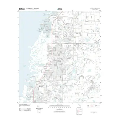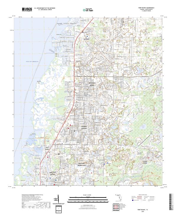
2025 Map of Port Richey
USGS Topo · Published 2025About this map
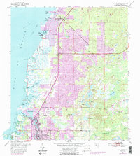
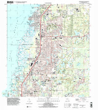
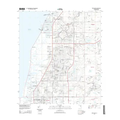
The Pithlachascotee River winds through the southern portion of this coastal Pasco County landscape, providing a natural anchor for the developed communities of Port Richey and New Port Richey. The western edge is defined by an intricate network of tidal features and bayous, including Millers Bayou, Lighter Bayou, and Salt Springs Run, reaching out toward the Gulf of America. Moving inland, the map captures a transition from dense residential grids in Jasmine Estates and Bayonet Point to the protected conservation land of the Starkey Wilderness Park in the southeast. Cultural and community landmarks are well-represented, from educational hubs like Marchman Technical College to historic resting places such as Hudson Cem and Pine Hill Cem. The inclusion of the Hidden Lake Airport and the West Pasco Judicial Center reflects the modern infrastructure of this growing Florida corridor.
Find a feature on this map
53 named features on this map. Tap any name to fly to it.
Don’t see what you’re looking for? This feature index may not catch every label — zoom into the map to look around manually.
Map Details
Editions of this 2025 Port Richey Map
This is the sole edition of this map. No revisions or reprints were ever made.
Historical Maps of Bayonet Point Through Time
8 maps found