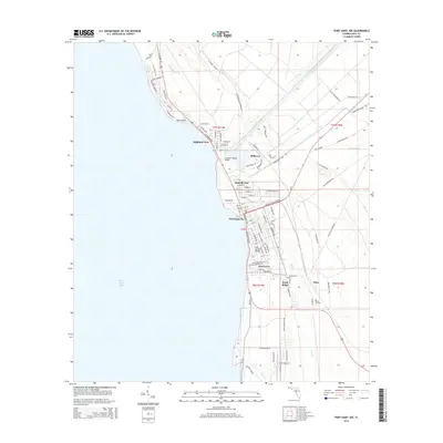
2015 Map of Port Saint Joe
USGS Topo · Published 2015About this map
Saint Joseph Bay defines the western edge of this coastal landscape, where the waters meet the industrial and residential heart of Port Saint Joe. This survey captures a region defined by its waterborne infrastructure, notably the Gulf County Canal slicing through the terrain and the George G Tapper Bridge providing a vital link at Highland View. The map illustrates a distinctive pattern of development, from the structured grids of Milltown and Oak Grove to the more dispersed settlements of Niles and Ward Ridge further inland.
Find a feature on this map
95 named features on this map. Tap any name to fly to it.
Don’t see what you’re looking for? This feature index may not catch every label — zoom into the map to look around manually.
Map Details
Editions of this 2015 Port Saint Joe Map
This is the sole edition of this map. No revisions or reprints were ever made.
Other maps of this area

1943 · St Joseph Spit
USGS Topo · 1:31,680

1943 · Port St. Joe
USGS Topo · 1:31,680

1943 · Cape San Blas
USGS Topo · 1:31,680

1943 · Overstreet
USGS Topo · 1:31,680

1943 · Indian Pass
USGS Topo · 1:24,000

1944 · Beacon Hill
USGS Topo · 1:31,680

1944 · White City
USGS Topo · 1:24,000

1945 · Lake Wimico
USGS Topo · 1:31,680

1945 · White City
USGS Topo · 1:31,680

1945 · Indian Pass
USGS Topo · 1:31,680