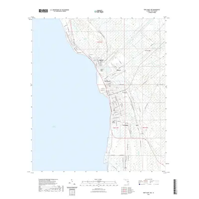
2021 Map of Port Saint Joe
USGS Topo · Published 2021About this map
Saint Joseph Bay dominates the western edge of this coastal survey, where the deep-water harbor has long shaped the development of Port St. Joe. The industrial and maritime character of the region is evident in the layout of Milltown and the prominent Gulf County Canal, which bisects the northern reaches near Highland View. To the south, residential and civic life centers around the Gulf County Courthouse, while outlying settlements like Niles and Ward Ridge suggest the inland expansion of the community.
Find a feature on this map
117 named features on this map. Tap any name to fly to it.
Don’t see what you’re looking for? This feature index may not catch every label — zoom into the map to look around manually.
Map Details
Editions of this 2021 Port Saint Joe Map
This is the sole edition of this map. No revisions or reprints were ever made.
Other maps of this area

1943 · St Joseph Spit
USGS Topo · 1:31,680

1943 · Port St. Joe
USGS Topo · 1:31,680

1943 · Cape San Blas
USGS Topo · 1:31,680

1943 · Overstreet
USGS Topo · 1:31,680

1943 · Indian Pass
USGS Topo · 1:24,000

1944 · Beacon Hill
USGS Topo · 1:31,680

1944 · White City
USGS Topo · 1:24,000

1945 · Lake Wimico
USGS Topo · 1:31,680

1945 · White City
USGS Topo · 1:31,680

1945 · Indian Pass
USGS Topo · 1:31,680