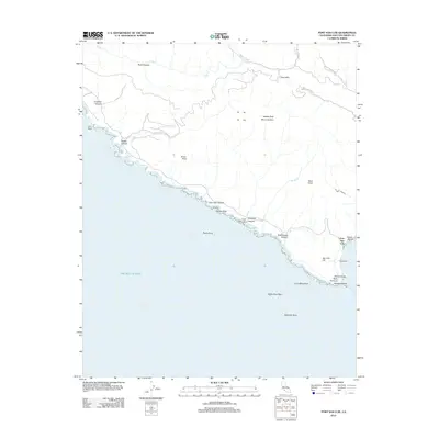
2012 Map of Port San Luis
USGS Topo · Published 2012About this map
Port San Luis serves as the focal point of this coastal survey, where maritime activity meets the steep rise of the Irish Hills. The coastline is defined by hazardous features and industrial sites, notably Diablo Canyon and the prominent Point San Luis. Off the shore, a series of rocky outcrops including Whalers Island, Smith Island, and Pecho Rock dot the Pacific Ocean, while the built environment is marked by Harford Pier and the structure at Tunnel Point.
Find a feature on this map
31 named features on this map. Tap any name to fly to it.
Don’t see what you’re looking for? This feature index may not catch every label — zoom into the map to look around manually.
Map Details
Editions of this 2012 Port San Luis Map
This is the sole edition of this map. No revisions or reprints were ever made.
Other maps of this area

1897 · Port Harford
USGS Topo · 1:62,500

1897 · San Luis Obispo
USGS Topo · 1:62,500

1897 · Cayucos
USGS Topo · 1:62,500

1897 · Arroyo Grande
USGS Topo · 1:62,500

1900 · San Luis
USGS Topo · 1:125,000

1937 · Cayucos
USGS Topo · 1:62,500

1941 · Port San Luis
USGS Topo · 1:62,500

1942 · San Luis Obispo
USGS Topo · 1:62,500

1942 · Arroyo Grande
USGS Topo · 1:62,500

1943 · Cayucos
USGS Topo · 1:62,500