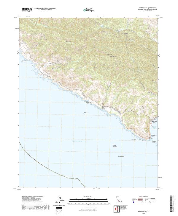
2021 Map of Port San Luis
USGS Topo · Published 2021About this map
Port San Luis serves as the focal point for this section of the Central California coastline, situated at the edge of San Luis Obispo Bay. The landscape is defined by the sharp rise of the Irish Hills, where numerous canyons like Diablo Canyon, Irish Canyon, and Wild Cherry Canyon cut through the terrain toward the Pacific. High points such as Mount Buchon, Saddle Peak, and Green Peak provide a dramatic backdrop to the rugged shoreline. Historically significant maritime features including Point San Luis, Whalers Island, and Smith Island mark the southern reach of the map, while numerous offshore hazards like Santa Rosa Reef and Pecho Rock suggest the navigational challenges of this coastal stretch. A network of trails and roads, such as the Pecho-Coast Trl and Diablo Canyon Rd, connects the upland canyons to the sea, illustrating the enduring relationship between the coastal hills and the bay.
Find a feature on this map
57 named features on this map. Tap any name to fly to it.
Don’t see what you’re looking for? This feature index may not catch every label — zoom into the map to look around manually.
Map Details
Editions of this 2021 Port San Luis Map
This is the sole edition of this map. No revisions or reprints were ever made.
Other maps of this area

1897 · Port Harford
USGS Topo · 1:62,500

1897 · San Luis Obispo
USGS Topo · 1:62,500

1897 · Cayucos
USGS Topo · 1:62,500

1897 · Arroyo Grande
USGS Topo · 1:62,500

1900 · San Luis
USGS Topo · 1:125,000

1937 · Cayucos
USGS Topo · 1:62,500

1941 · Port San Luis
USGS Topo · 1:62,500

1942 · San Luis Obispo
USGS Topo · 1:62,500

1942 · Arroyo Grande
USGS Topo · 1:62,500

1943 · Cayucos
USGS Topo · 1:62,500