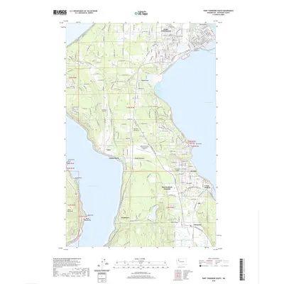
2020 Map of Port Townsend South
USGS Topo · Published 2020About this map
Port Townsend and the surrounding Quimper Peninsula anchor this detailed study of Jefferson County's coastal infrastructure. The map documents the established community at Port Hadlock-Irondale and the smaller settlements of Chimacum and Port Discovery. Local history is preserved through the marking of the Jefferson County Courthouse and historic burial grounds like Jefferson County Cem and Redmens Cem.
Find a feature on this map
141 named features on this map. Tap any name to fly to it.
Don’t see what you’re looking for? This feature index may not catch every label — zoom into the map to look around manually.
Map Details
Editions of this 2020 Port Townsend South Map
This is the sole edition of this map. No revisions or reprints were ever made.
Other maps of this area

1937 · Port Gamble
USGS Topo · 1:62,500

1939 · Port Townsend
USGS Topo · 1:62,500

1939 · Coupeville
USGS Topo · 1:62,500

1940 · Port Gamble
USGS Topo · 1:62,500

1940 · Quilcene
USGS Topo · 1:62,500

1953 · Coupeville
USGS Topo · 1:24,000

1953 · Nordland
USGS Topo · 1:24,000

1953 · Center
USGS Topo · 1:24,000
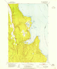
1953 · Port Ludlow
USGS Topo · 1:24,000

1953 · Port Townsend North
USGS Topo · 1:24,000