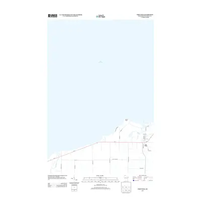
2013 Map of Port Wing
USGS Topo · Published 2013About this map
Port Wing sits along the southern shore of Lake Superior, serving as a primary point of settlement where Wi-13 meets the waters of the north. The landscape is defined by its coastal geography, most notably at Quarry Point and the adjacent Quarry Shores Rd, which suggest a history of local industry and extraction. Moving inland, the terrain is drained by systems such as Larson Cr and the Iron River, the latter flowing through the southwestern portion of the map.
Find a feature on this map
27 named features on this map. Tap any name to fly to it.
Don’t see what you’re looking for? This feature index may not catch every label — zoom into the map to look around manually.
Map Details
Editions of this 2013 Port Wing Map
This is the sole edition of this map. No revisions or reprints were ever made.
Other maps of this area

1943 · Port Wing
USGS Topo · 1:48,000

1943 · Iron Lake
USGS Topo · 1:48,000

1946 · Port Wing
USGS Topo · 1:48,000

1947 · Brule
USGS Topo · 1:48,000

1947 · Iron Lake
USGS Topo · 1:48,000

1953 · Ashland
USGS Topo · 1:250,000

1958 · Ashland
USGS Topo · 1:250,000
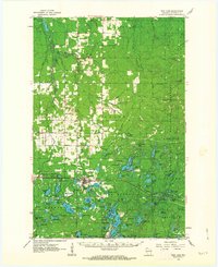
1961 · Iron Lake
USGS Topo · 1:62,500
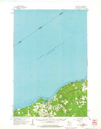
1961 · Port Wing
USGS Topo · 1:62,500
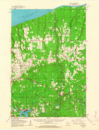
1961 · Brule
USGS Topo · 1:62,500