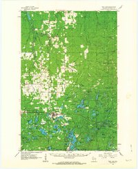
1961 Map of Iron Lake
USGS Topo · Published 1963About this map
The Iron River settlement serves as the central hub of this northern Wisconsin landscape, situated where the Northern Pacific railroad bisects a region of dense woods and scattered clearings. This early 1960s survey captures the area as it transitioned from its heavy industrial roots toward a recreational and conservation-focused identity, evidenced by the sprawling Chequamegon National Forest and numerous named water bodies like Long Lake and Jackman Lake. The town's local infrastructure is well-defined, including the Union Airport, City Cem, and the Iron River Lookout Tower.
Find a feature on this map
107 named features on this map. Tap any name to fly to it.
Don’t see what you’re looking for? This feature index may not catch every label — zoom into the map to look around manually.
Map Details
Editions of this 1961 Iron Lake Map
2 editions found

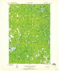
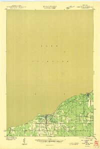
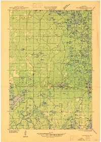
Other maps of this area

1943 · Port Wing
USGS Topo · 1:48,000

1943 · Iron Lake
USGS Topo · 1:48,000

1944 · Moquah
USGS Topo · 1:48,000

1944 · Cornucopia
USGS Topo · 1:48,000
1944 · Drummond
USGS Topo · 1:48,000

1944 · Grandview
USGS Topo · 1:48,000

1945 · Highland
USGS Topo · 1:48,000

1946 · Cornucopia
USGS Topo · 1:48,000
1946 · Port Wing
USGS Topo · 1:48,000
1947 · Drummond
USGS Topo · 1:48,000