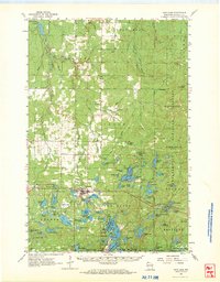
1961 Map of Iron Lake
USGS Topo · Published 1973About this map
Iron River serves as the central hub of this northern Wisconsin landscape, where the confluence of rail lines and forest management defines the local economy. The Northern and Pacific railroad corridors intersect near the town center, providing a transportation skeleton for the region's timber and agricultural interests. The surrounding townships of Oulu, Tripp, and Barksdale are dotted with foundational community markers such as the Oulu Ch, Oulu Sch, and several rural burial grounds including Hillside Cem and Trip Cem.
Find a feature on this map
112 named features on this map. Tap any name to fly to it.
Don’t see what you’re looking for? This feature index may not catch every label — zoom into the map to look around manually.
Map Details
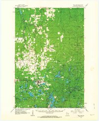
Editions of this 1961 Iron Lake Map
2 editions found
Other maps of this area

1943 · Port Wing
USGS Topo · 1:48,000

1943 · Iron Lake
USGS Topo · 1:48,000

1944 · Moquah
USGS Topo · 1:48,000

1944 · Cornucopia
USGS Topo · 1:48,000

1944 · Drummond
USGS Topo · 1:48,000

1944 · Grandview
USGS Topo · 1:48,000

1945 · Highland
USGS Topo · 1:48,000

1946 · Cornucopia
USGS Topo · 1:48,000

1946 · Port Wing
USGS Topo · 1:48,000

1947 · Drummond
USGS Topo · 1:48,000