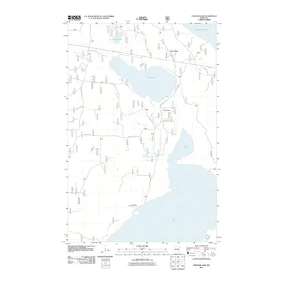
2011 Map of Portage Lake
USGS Topo · Published 2011About this map
Leech Lake and Lake Winnibigoshish dominate the northern and southern reaches of this landscape, framing a critical drainage system in the heart of Minnesota lake country. The area is defined by its interconnected waterways, where Portage Creek flows through the center of the map, linking the namesake Portage Lake to its larger neighbors. This watery geography dictated early movement and settlement patterns, evidenced by the cluster of labels near the creek.
Find a feature on this map
19 named features on this map. Tap any name to fly to it.
Don’t see what you’re looking for? This feature index may not catch every label — zoom into the map to look around manually.
Map Details
Editions of this 2011 Portage Lake Map
This is the sole edition of this map. No revisions or reprints were ever made.
Other maps of this area

1954 · Bemidji
USGS Topo · 1:250,000

1957 · Bemidji
USGS Topo · 1:250,000

1958 · Bemidji
USGS Topo · 1:250,000

1971 · Raven Lake
USGS Topo · 1:24,000

1971 · Bena
USGS Topo · 1:24,000

1971 · Sucker Lakes
USGS Topo · 1:24,000

1971 · Pennington
USGS Topo · 1:24,000
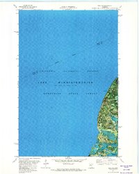
1971 · Bena NW
USGS Topo · 1:24,000
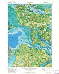
1971 · Federal Dam
USGS Topo · 1:24,000

1971 · Portage Lake
USGS Topo · 1:24,000