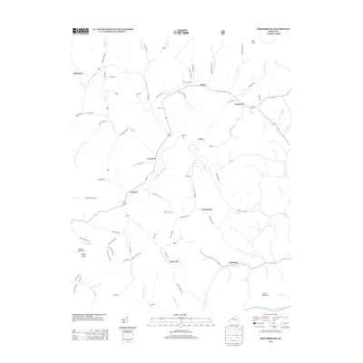
2013 Map of Portersburg
USGS Topo · Published 2013About this map
S Fork Rockcastle River winds through this Clay County landscape, connecting a network of rural communities including Portersburg, Deer Lick, and Fogertown. The terrain is defined by significant elevations like Raccoon Mountain and High Knob, with numerous creek branches such as Buffalo Br and Shib Br feeding into the larger river systems. This 2013 survey provides a detailed view of the local road infrastructure and small-scale settlements that have persisted in the region.
Find a feature on this map
88 named features on this map. Tap any name to fly to it.
Don’t see what you’re looking for? This feature index may not catch every label — zoom into the map to look around manually.
Map Details
Editions of this 2013 Portersburg Map
This is the sole edition of this map. No revisions or reprints were ever made.
Other maps of this area

1891 · Manchester
USGS Topo · 1:125,000

1893 · London
USGS Topo · 1:125,000

1897 · London
USGS Topo · 1:125,000

1952 · Portersburg
USGS Topo · 1:24,000

1952 · Hima
USGS Topo · 1:24,000

1952 · Blackwater
USGS Topo · 1:24,000

1952 · Lily
USGS Topo · 1:24,000

1952 · Manchester
USGS Topo · 1:24,000

1952 · London
USGS Topo · 1:24,000

1953 · Tyner
USGS Topo · 1:24,000