
1952 Map of Portersburg
USGS Topo · Published 1953About this map
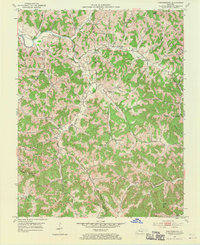
The South Fork Rockcastle River and Little Laurel River carve through this section of the Kentucky coalfields, where the Laurel and Clay county line divides the landscape. In the early 1950s, this area was characterized by a dense network of small rural institutions, including numerous community schools such as Old Way Sch, Hammons Hill Sch, and Dan Jones Sch. Settlement is concentrated in small pockets like Portersburg and McWhorter, connected by a web of unimproved dirt roads and light-duty paths that follow the winding creek beds. The emergence of industrial activity is visible at the Strip Mine located south of Crawford, marking a shift in the local economy alongside traditional landmarks like Pleasant Grove Ch and the high point at Cutoff Knob Mtn.
Find a feature on this map
57 named features on this map. Tap any name to fly to it.
Don’t see what you’re looking for? This feature index may not catch every label — zoom into the map to look around manually.
Map Details
Editions of this 1952 Portersburg Map
2 editions found
Other maps of this area

1891 · Manchester
USGS Topo · 1:125,000

1893 · London
USGS Topo · 1:125,000

1897 · London
USGS Topo · 1:125,000

1952 · Hima
USGS Topo · 1:24,000

1952 · Blackwater
USGS Topo · 1:24,000

1952 · Lily
USGS Topo · 1:24,000

1952 · Manchester
USGS Topo · 1:24,000

1952 · London
USGS Topo · 1:24,000

1953 · Tyner
USGS Topo · 1:24,000

1953 · Parrot
USGS Topo · 1:24,000