
1953 Map of Parrot
USGS Topo · Published 1955About this map
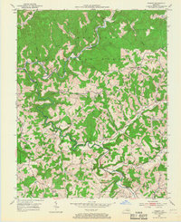
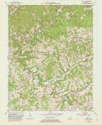
The Rockcastle River snakes through the dense topography of the Cumberland National Forest, defining the boundary between Jackson and Laurel counties. This mid-century landscape is defined by its deep dissection, where narrow ridges and hollows dictate the location of small settlements and educational outposts. At Parrot (Letter Box), the community hub is situated on a high ridge, while other small hamlets like Dabolt and Cornelius occupy similar upland clearings.
Find a feature on this map
58 named features on this map. Tap any name to fly to it.
Don’t see what you’re looking for? This feature index may not catch every label — zoom into the map to look around manually.
Map Details
Editions of this 1953 Parrot Map
3 editions found
Other maps of this area

1891 · Manchester
USGS Topo · 1:125,000

1893 · London
USGS Topo · 1:125,000

1897 · London
USGS Topo · 1:125,000

1952 · Portersburg
USGS Topo · 1:24,000

1952 · Bernstadt
USGS Topo · 1:24,000

1952 · London
USGS Topo · 1:24,000

1953 · Johnetta
USGS Topo · 1:24,000

1953 · Mc Kee
USGS Topo · 1:24,000

1953 · Sandgap
USGS Topo · 1:24,000

1953 · Livingston
USGS Topo · 1:24,000