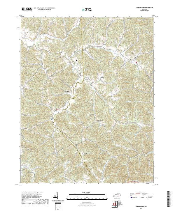
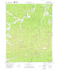
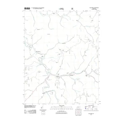
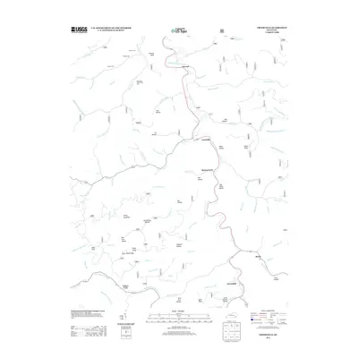
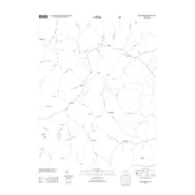
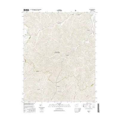
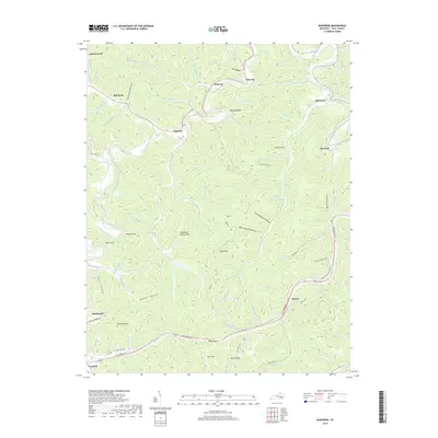
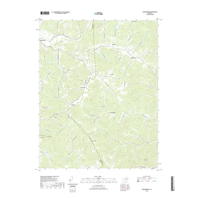
2022 Map of Portersburg
USGS Topo · Published 2022About this map
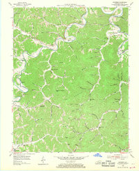
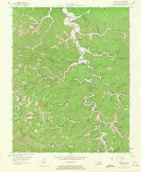
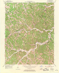
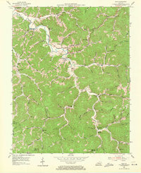
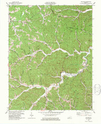
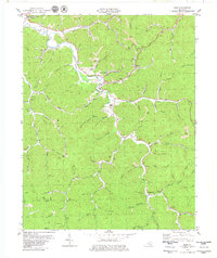
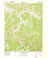
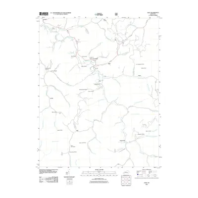
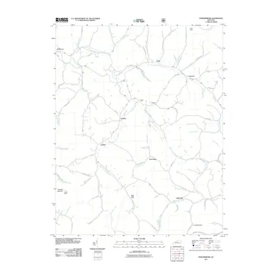
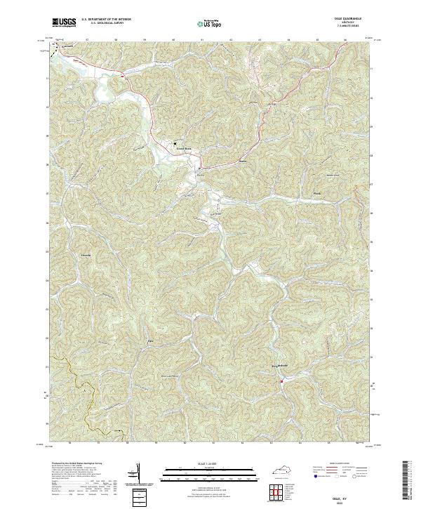
The South Fork Rockcastle River winds through this section of the Kentucky highlands, carving a landscape defined by sharp ridges and narrow hollows. In the 2020s, the area remains a network of small, scattered communities like Portersburg, Langnau, and Deer Lick. Many of these settlements are connected by family-named routes such as McWhorter Rd, Nantz Rd, and King David Benge Rd, reflecting deep-rooted local heritage and land ownership patterns. The rugged topography is punctuated by prominent summits including Raccoon Mtn and Cutoff Knob, while the Lincks Cem serves as a silent point of interest for genealogists tracing regional lineages.
Find a feature on this map
86 named features on this map. Tap any name to fly to it.
Don’t see what you’re looking for? This feature index may not catch every label — zoom into the map to look around manually.
Map Details
Editions of this 2022 Portersburg Map
This is the sole edition of this map. No revisions or reprints were ever made.
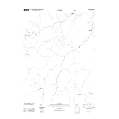
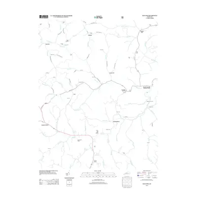
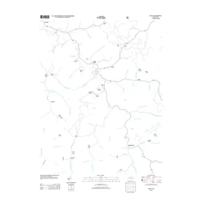
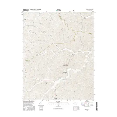
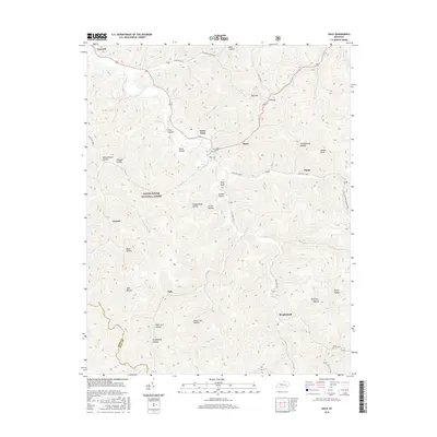
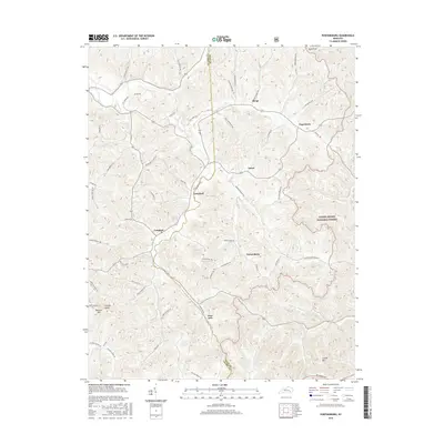
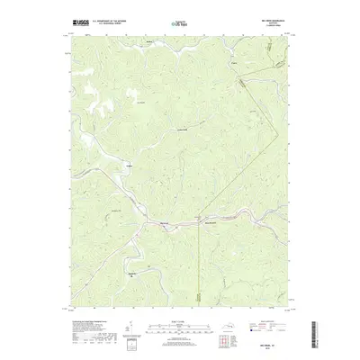
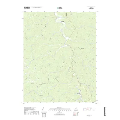
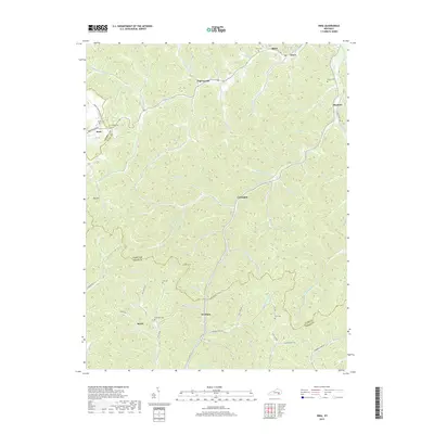
Historical Maps of Benge Through Time
49 maps found
1952 Hima
Clay County, KY
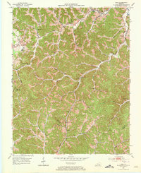
1952 Portersburg
Clay County, KY
1953 Big Creek
Clay County, KY
1954 Barcreek
Clay County, KY
1954 Creekville
Clay County, KY
1954 Maulden
Clay County, KY
1954 Ogle
Clay County, KY
1979 Barcreek
Clay County, KY
1979 Big Creek
Clay County, KY
1979 Creekville
Clay County, KY
1979 Hima
Clay County, KY
1979 Maulden
Clay County, KY
1979 Ogle
Clay County, KY
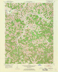
1979 Portersburg
Clay County, KY
2011 Barcreek
Clay County, KY
2011 Big Creek
Clay County, KY
2011 Creekville
Clay County, KY
2011 Hima
Clay County, KY
2011 Maulden
Clay County, KY
2011 Ogle
Clay County, KY
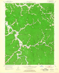
2011 Portersburg
Clay County, KY
2013 Barcreek
Clay County, KY
2013 Big Creek
Clay County, KY
2013 Creekville
Clay County, KY
2013 Hima
Clay County, KY
2013 Maulden
Clay County, KY
2013 Ogle
Clay County, KY
2013 Portersburg
Clay County, KY
2016 Barcreek
Clay County, KY
2016 Big Creek
Clay County, KY
2016 Creekville
Clay County, KY
2016 Hima
Clay County, KY
2016 Maulden
Clay County, KY
2016 Ogle
Clay County, KY
2016 Portersburg
Clay County, KY
2019 Barcreek
Clay County, KY
2019 Big Creek
Clay County, KY
2019 Creekville
Clay County, KY
2019 Hima
Clay County, KY
2019 Maulden
Clay County, KY
2019 Ogle
Clay County, KY
2019 Portersburg
Clay County, KY
2022 Barcreek
Clay County, KY
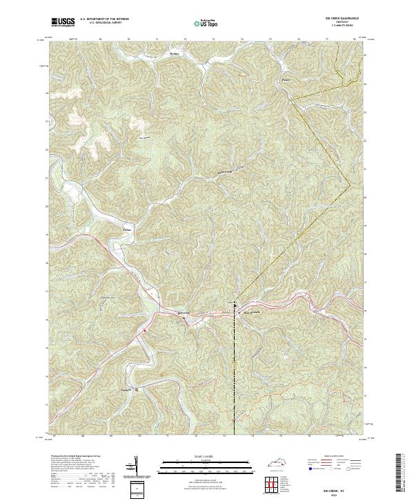
2022 Big Creek
Clay County, KY
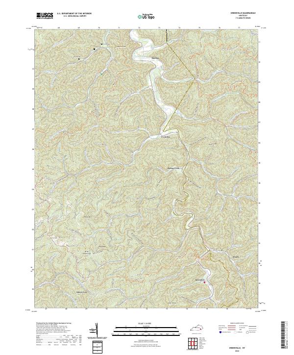
2022 Creekville
Clay County, KY
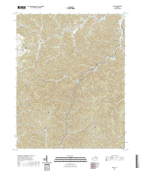
2022 Hima
Clay County, KY
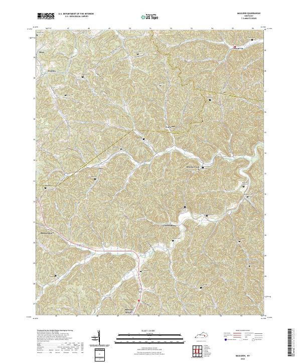
2022 Maulden
Clay County, KY
2022 Ogle
Clay County, KY
2022 Portersburg
Clay County, KY