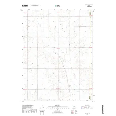
2018 Map of Portis NE
USGS Topo · Published 2018About this map
The boundary between Smith County and Jewell County forms the eastern edge of this agricultural landscape, where the terrain is carved by an intricate network of waterways. Oak Creek and its various branches, including Middle Oak Creek, East Oak Creek, and West Oak Creek, dominate the drainage pattern of this central Kansas region. The systematic grid of the Public Land Survey System is clearly visible through the numerous numbered roads, such as 200 Road and 250 Road, which facilitate travel through the productive fields.
Find a feature on this map
30 named features on this map. Tap any name to fly to it.
Don’t see what you’re looking for? This feature index may not catch every label — zoom into the map to look around manually.
Map Details
Editions of this 2018 Portis NE Map
This is the sole edition of this map. No revisions or reprints were ever made.
Other maps of this area

1893 · Smith Center
USGS Topo · 1:125,000

1894 · Mankato
USGS Topo · 1:125,000

1955 · Beloit
USGS Topo · 1:250,000

1959 · Beloit
USGS Topo · 1:250,000

1960 · Downs North
USGS Topo · 1:24,000

1961 · Portis
USGS Topo · 1:24,000

1962 · Cawker City
USGS Topo · 1:24,000
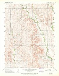
1969 · Cawker City NW
USGS Topo · 1:24,000
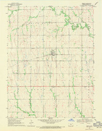
1969 · Esbon
USGS Topo · 1:24,000
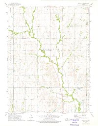
1973 · Portis NE
USGS Topo · 1:24,000