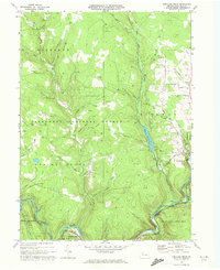
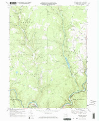
1969 Map of Portland Mills
USGS Topo · Published 1972About this map
The Clarion River snakes through the southern reaches of this landscape, marking a vital corridor for the Baltimore and Ohio and Penn Central railroads. Near the river junction lies Portland Mills, a small settlement positioned at the base of the heavily forested plateaus. Much of the terrain is defined by the Allegheny National Forest and State Game Lands No 44, where the topography is carved by numerous runs and creeks, including Bear Creek and Big Mill Creek.
Find a feature on this map
45 named features on this map. Tap any name to fly to it.
Don’t see what you’re looking for? This feature index may not catch every label — zoom into the map to look around manually.
Map Details
Editions of this 1969 Portland Mills Map
2 editions found
Other maps of this area

1934 · Kane
USGS Topo · 1:48,000

1935 · Mt. Jewett
USGS Topo · 1:48,000

1939 · Kane
USGS Topo · 1:62,500

1940 · Hallton
USGS Topo · 1:48,000

1940 · Mt. Jewett
USGS Topo · 1:62,500

1941 · Ridgway
USGS Topo · 1:62,500

1943 · Hallton
USGS Topo · 1:62,500

1944 · Ridgway
USGS Topo · 1:62,500

1957 · Warren
USGS Topo · 1:250,000

1958 · Warren
USGS Topo · 1:250,000
Featured Places
- Ridgway Township, PA
- Spring Creek Township, PA
- Highland Township, PA
- Portland Mills, Spring Creek Township
- Elk County, PA