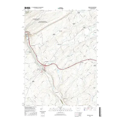
2016 Map of Portland
USGS Topo · Published 2016About this map
The Delaware River carves through the landscape here, defining the border between Pennsylvania and New Jersey. On the eastern banks, the borough of Portland and the village of Columbia are connected by a bridge over the water, serving as a focal point for local transport and commerce. The topography is dominated by the steep slopes of Kittatinny Mountain, which hosts the Appalachian National Scenic Trail as it winds through the Delaware Water Gap National Recreation Area. For family historians, the map identifies several local resting places including Saint Vincent Cem, Knowlton Frame Cem, and the Riverview Cem in Portland. Smaller inland settlements like Hainesburg, Knowlton, and Delaware are scattered along the Paulins Kill and various creek drainages, while localized aviation is represented by several small fields including the Mount Pleasant Landing Strip.
Find a feature on this map
153 named features on this map. Tap any name to fly to it.
Don’t see what you’re looking for? This feature index may not catch every label — zoom into the map to look around manually.
Map Details
Editions of this 2016 Portland Map
This is the sole edition of this map. No revisions or reprints were ever made.
Other maps of this area

1888 · Hackettstown
USGS Topo · 1:62,500

1891 · Wallpack
USGS Topo · 1:62,500

1891 · Delaware Water Gap
USGS Topo · 1:62,500

1893 · Delaware Water Gap
USGS Topo · 1:62,500

1893 · Wallpack
USGS Topo · 1:62,500

1894 · Hackettstown
USGS Topo · 1:62,500

1898 · Hackettstown
USGS Topo · 1:62,500

1900 · Raritan
USGS Topo · 1:125,000

1905 · Raritan
USGS Topo · 1:125,000

1905 · Hackettstown
USGS Topo · 1:62,500