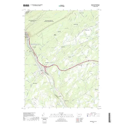
2019 Map of Portland
USGS Topo · Published 2019About this map
Kittatinny Mtn anchors the northern landscape of this region, where the Appalachian National Scenic Trail winds through the Delaware Water Gap National Recreation Area. The Delaware River serves as the primary artery and state boundary, separating Portland and Columbia at a major crossing point. This late 2010s survey illustrates a rural corridor transitioning between riverfront settlements and upland agricultural valleys, marked by small aviation sites like Blairstown Airport and the Mount Pleasant Landing Strip. Genealogists will find several notable burial grounds, including the Knowlton Frame Cem and Saint Vincent Cem. The complex drainage patterns of the Paulins Kill and Stony Brook define the local topography, supporting established communities such as Hainesburg, Vail, and Ramseysburg.
Find a feature on this map
151 named features on this map. Tap any name to fly to it.
Don’t see what you’re looking for? This feature index may not catch every label — zoom into the map to look around manually.
Map Details
Editions of this 2019 Portland Map
This is the sole edition of this map. No revisions or reprints were ever made.
Other maps of this area

1888 · Hackettstown
USGS Topo · 1:62,500

1891 · Wallpack
USGS Topo · 1:62,500

1891 · Delaware Water Gap
USGS Topo · 1:62,500

1893 · Delaware Water Gap
USGS Topo · 1:62,500

1893 · Wallpack
USGS Topo · 1:62,500

1894 · Hackettstown
USGS Topo · 1:62,500

1898 · Hackettstown
USGS Topo · 1:62,500

1900 · Raritan
USGS Topo · 1:125,000

1905 · Raritan
USGS Topo · 1:125,000

1905 · Hackettstown
USGS Topo · 1:62,500