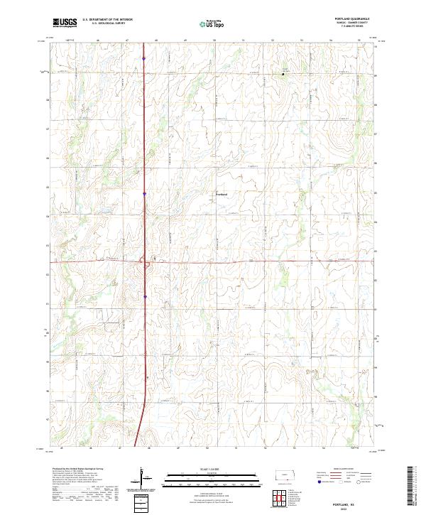
2022 Map of Portland
USGS Topo · Published 2022About this map
Portland sits at the geographic heart of this Sumner County landscape, situated along a grid of agricultural section lines in southern Kansas. The terrain is defined by the winding paths of Meridian Cr, Bitter Cr, and Dry Cr, which carve through the plains. A strictly organized road network, including S Meridian Rd and S Woodlawn Rd, provides the structure for the rural farmsteads and fields that dominate the township. To the northeast, Forest Hill Cem serves as a significant local landmark for genealogical research, while the intersection of S Hydraulic Rd and E 160th St S marks a primary transit point near the center of the township. This survey provides a clear view of the modern rural infrastructure and the persistent natural drainage patterns that have shaped this prairie region for generations.
Find a feature on this map
27 named features on this map. Tap any name to fly to it.
Don’t see what you’re looking for? This feature index may not catch every label — zoom into the map to look around manually.
Map Details
Editions of this 2022 Portland Map
This is the sole edition of this map. No revisions or reprints were ever made.
Other maps of this area

1890 · Wellington
USGS Topo · 1:125,000

1955 · Wichita
USGS Topo · 1:250,000

1955 · Enid
USGS Topo · 1:250,000

1958 · Enid
USGS Topo · 1:250,000

1958 · Wichita
USGS Topo · 1:250,000

1964 · South Haven NE
USGS Topo · 1:24,000

1965 · Portland
USGS Topo · 1:24,000

1965 · Adamsville
USGS Topo · 1:24,000

1965 · South Haven
USGS Topo · 1:24,000

1965 · Geuda Springs
USGS Topo · 1:24,000