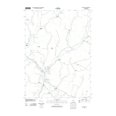
2010 Map of Portville
USGS Topo · Published 2010About this map
Portville stands at the confluence of Dodge Creek and the Allegheny River, serving as a central hub for the surrounding valley settlements in this 2010 survey. The landscape is defined by the winding paths of Oswayo Creek and Haskell Creek, which carve through the high ground of Portville Ridge and Typnahda Mountain. These waterways historically influenced the development of local hamlets like Weston Mills and Mill Grove.
Find a feature on this map
63 named features on this map. Tap any name to fly to it.
Don’t see what you’re looking for? This feature index may not catch every label — zoom into the map to look around manually.
Map Details
Editions of this 2010 Portville Map
This is the sole edition of this map. No revisions or reprints were ever made.
Other maps of this area

1898 · Olean
USGS Topo · 1:62,500

1925 · Belmont
USGS Topo · 1:62,500

1933 · Smethport
USGS Topo · 1:62,500

1934 · Coudersport
USGS Topo · 1:48,000

1937 · Smethport
USGS Topo · 1:62,500

1938 · Coudersport
USGS Topo · 1:62,500

1938 · Olean
USGS Topo · 1:62,500

1939 · Belmont
USGS Topo · 1:62,500

1943 · Olean
USGS Topo · 1:62,500

1957 · Warren
USGS Topo · 1:250,000