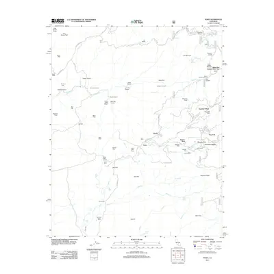
2012 Map of Posey
USGS Topo · Published 2012About this map
Posey and Idlewild serve as the primary social and residential hubs in this high-altitude landscape where the headwaters of Poso Creek and the White River begin their descent. The settlement pattern reveals a region largely defined by seasonal recreation and ranching, evidenced by the White River Summer Home Tract and specialized communities like Sugarloaf Village and Poso Park. Historically significant landholdings, such as Jack Ranch, Vincent Ranch, and the Carver and Bowen Ranch, are situated among the peaks, illustrating the area's legacy of mountain grazing. To the east, residential clusters at Pleasant View and Panorama Heights take advantage of the steep topography near the Sierra Christian Camp. The terrain is marked by distinctive features such as Grist Mill Peak and Capinero Saddle, reflecting a workforce and transport history tied to the forest.
Find a feature on this map
86 named features on this map. Tap any name to fly to it.
Don’t see what you’re looking for? This feature index may not catch every label — zoom into the map to look around manually.
Map Details
Editions of this 2012 Posey Map
This is the sole edition of this map. No revisions or reprints were ever made.
Other maps of this area
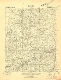
1920 · Delonagha
USGS Topo · 1:62,500
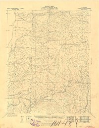
1926 · Glennville
USGS Topo · 1:62,500
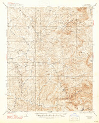
1932 · Woody
USGS Topo · 1:62,500
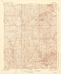
1935 · Woody
USGS Topo · 1:62,500
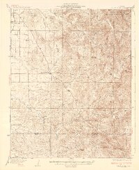
1936 · White River
USGS Topo · 1:62,500
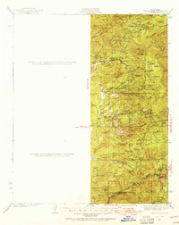
1936 · Tobias Peak
USGS Topo · 1:125,000
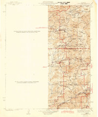
1943 · Tobias Peak
USGS Topo · 1:125,000
1945 · Tobias Peak
USGS Topo · 1:62,500
1948 · Bakersfield
USGS Topo · 1:250,000
1952 · Woody
USGS Topo · 1:62,500